California Physical Map
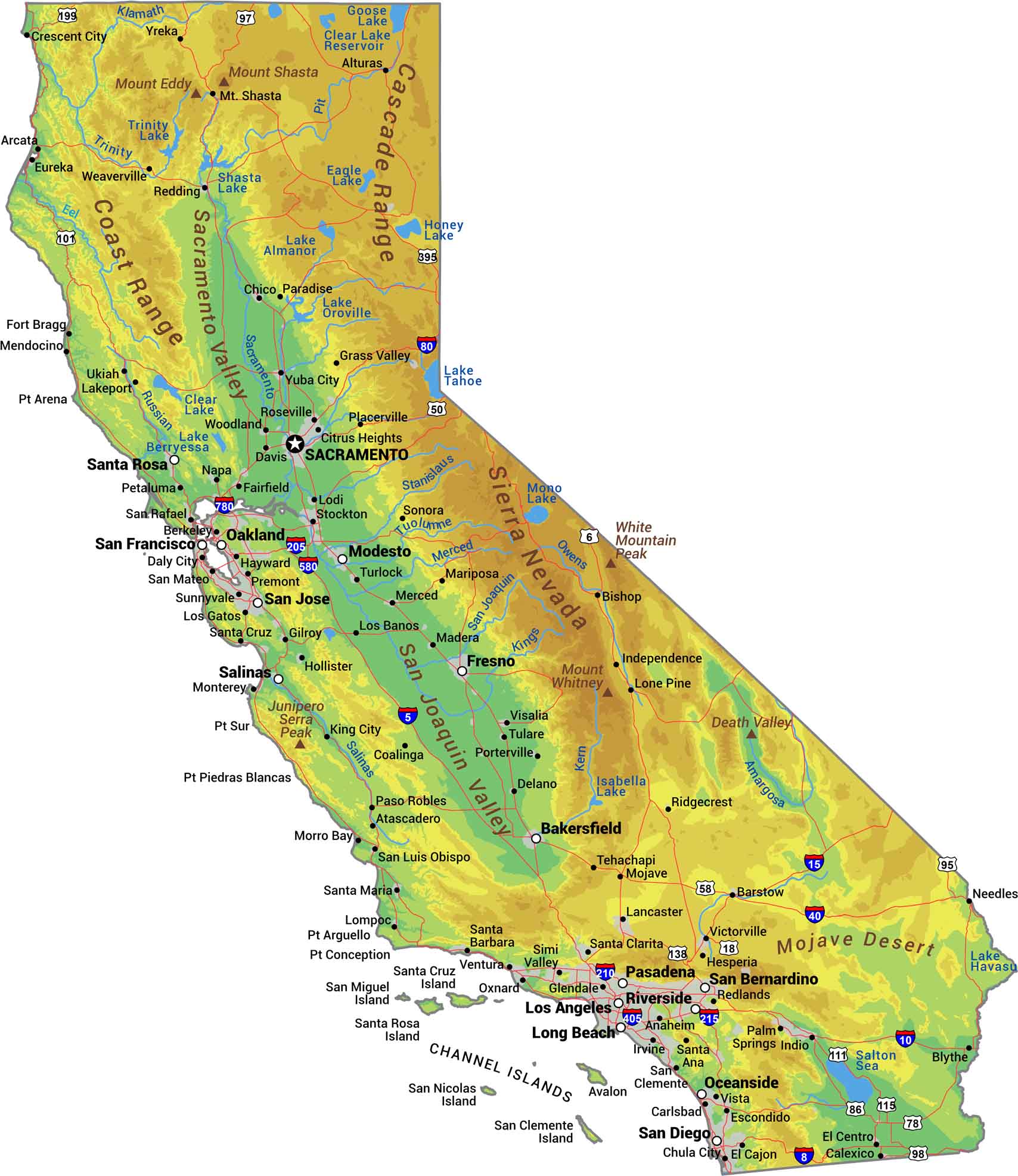
No state packs more geographical variety into its borders than California. The Sierra Nevada mountains wall off the east while the coastal ranges hug the Pacific. Between them sits the Central Valley, flat and massive. See our California physical map to see everything from Death Valley to Mount Whitney.
Map Information
On the Map
Physical State Maps
Select any state map below to view its physical map.


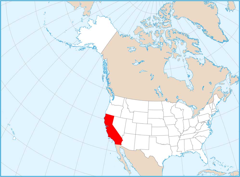
California State Maps
Explore California with our state maps


