Map of New York, New York
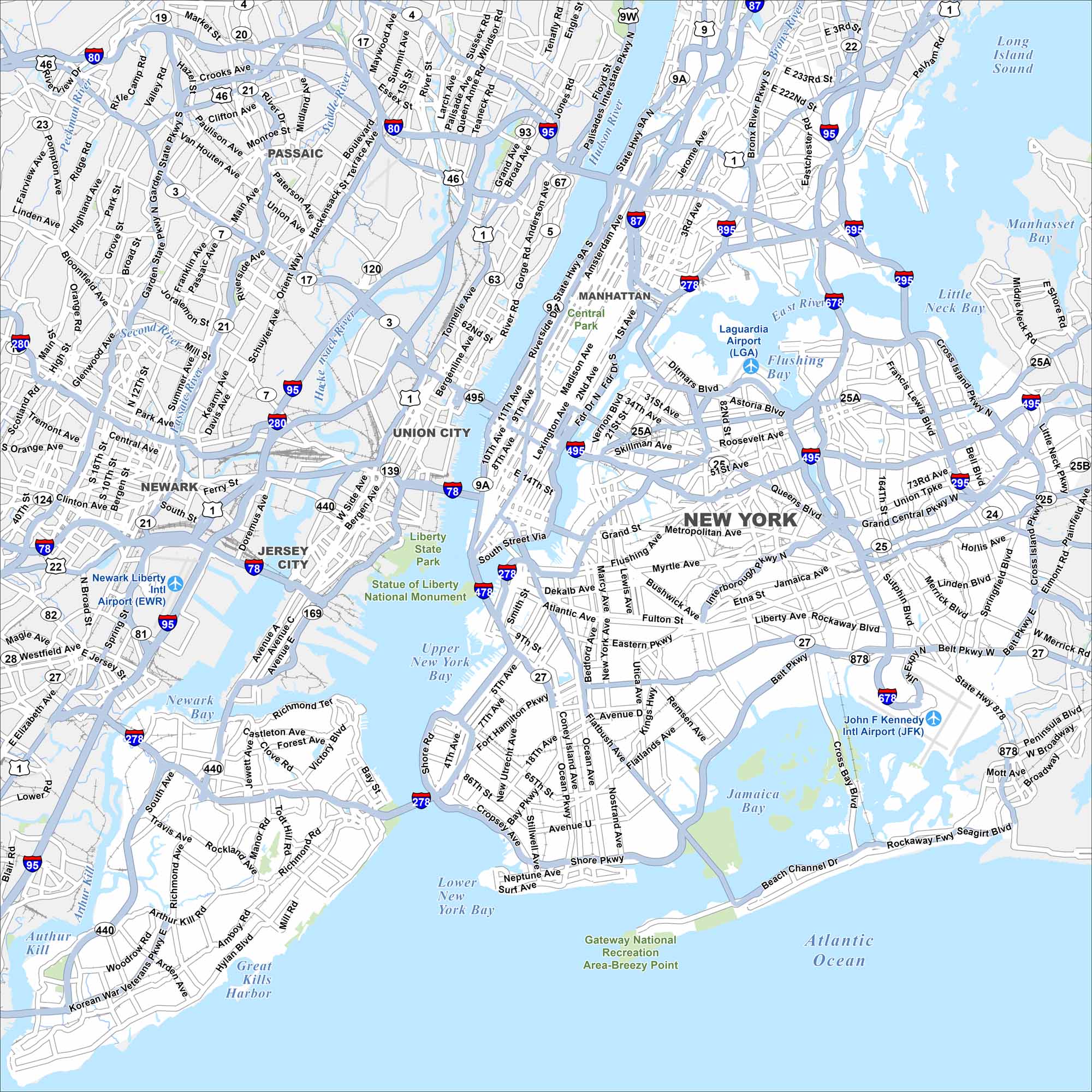
The Big Apple! New York City spans five boroughs and sits at the mouth of the Hudson River. Our map highlights the dense street grid of Manhattan, sprawling outer boroughs, and surrounding waterways. It’s the largest and most influential city in the country.
New York City Borough Maps
Explore the five boroughs of NYC.


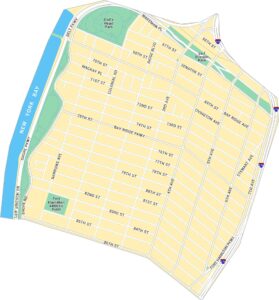
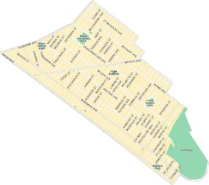
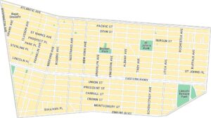
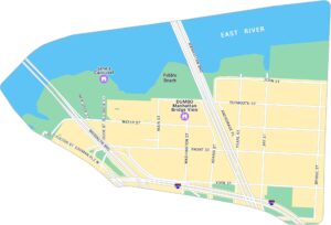
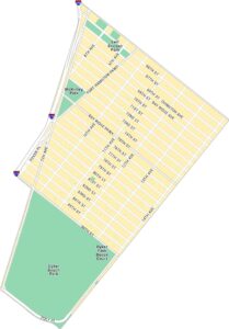
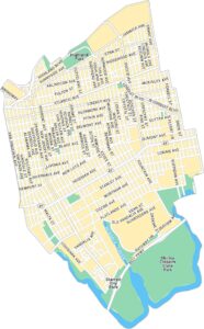
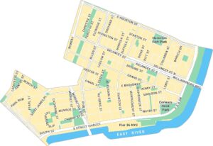
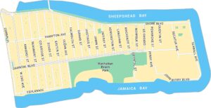
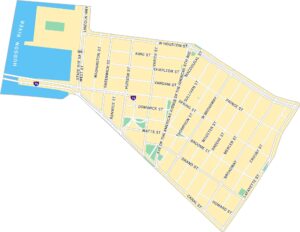
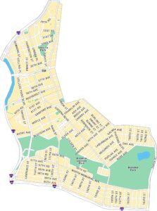
Brooklyn Neighborhood Maps
See our neighborhood maps for a closer look of the city.
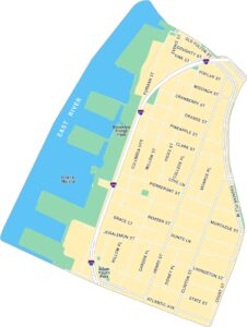
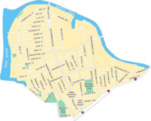
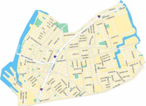
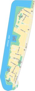
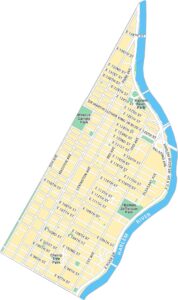
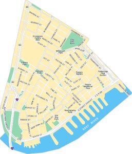
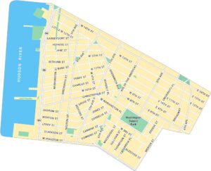
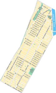
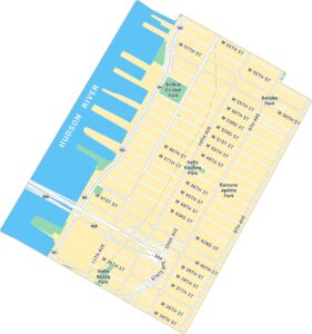
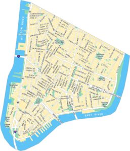
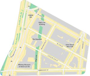
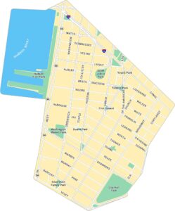
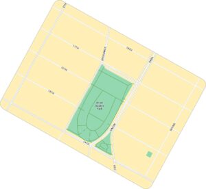
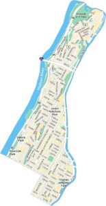
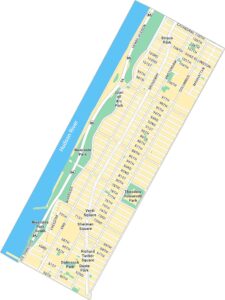
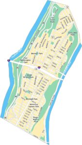
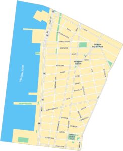
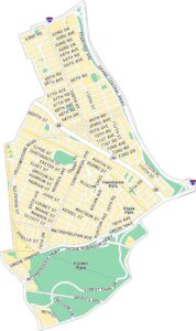
Manhattan Neighborhood Maps
See our neighborhood maps for a closer look of the city.
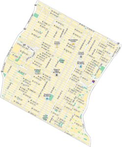
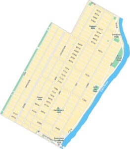
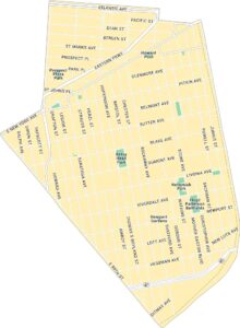
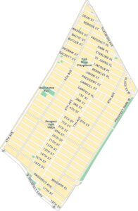
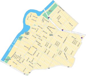
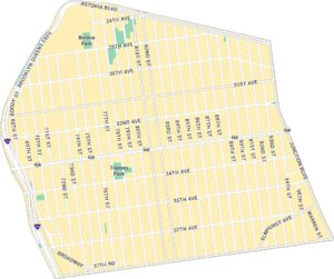
Queens Neighborhood Maps
See our neighborhood maps for a closer look of the city.
Map Information
On the Map
Interstates/Highways: I-95, I-87, I-78, I-280, I-495, I-278, I-678, I-895, I-695, State Rte 27, State Rte 25, State Rte 24, US Hwy 1, US Hwy 9, US Hwy 22, State Rte 21 Major Roads: Broadway, FDR Dr, Garden State Pkwy, New Jersey Tpke, Belt Pkwy, Grand Central Pkwy, Cross Island Pkwy, Bruckner Expy, Long Island Expy, Queens Blvd, Flatbush Ave, Atlantic Ave, Ocean Pkwy, Linden Blvd, Woodhaven Blvd, Rockaway Blvd, Hylan Blvd, Tonnelle Ave, John F Kennedy Blvd Airports: Laguardia Airport (LGA), John F Kennedy Intl Airport (JFK), Newark Liberty Intl Airport (EWR) Lakes and Reservoirs: Atlantic Ocean, Upper New York Bay, Lower New York Bay, Jamaica Bay, Little Neck Bay, Manhasset Bay, Flushing Bay, Newark Bay, Long Island Sound Major Rivers: Hudson River, East River, Harlem River, Hackensack River, Passaic River, Rahway River Parks and Preserves: Central Park, Gateway National Recreation Area, Liberty State Park, Statue of Liberty National Monument Nearby Communities: New York, Manhattan, Brooklyn, Queens, Staten Island, Bronx, Jersey City, Newark, Elizabeth, YonkersNew York State Maps
Find state maps of the Empire State.


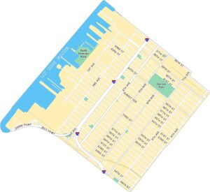
City Maps of New York
Here are the city maps that define New York


