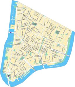
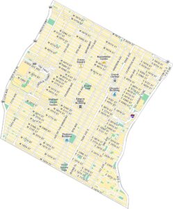
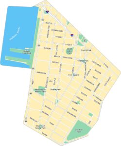
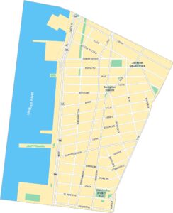
Lower East Side Map, New York
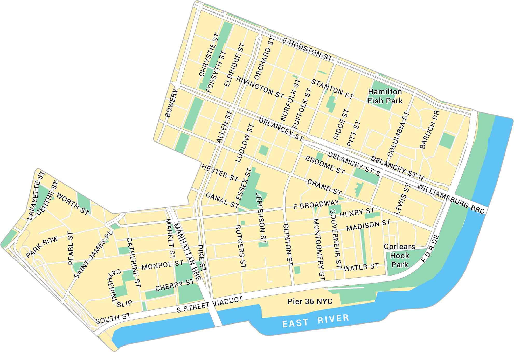
Our map of the Lower East Side shows the historic Manhattan neighborhood along the East River. It highlights main streets, nearby parks, and the bridges connecting to Brooklyn.
Map Information
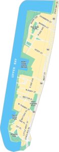
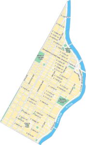
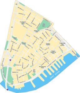
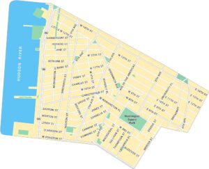
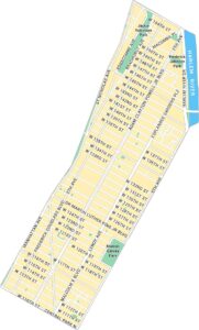
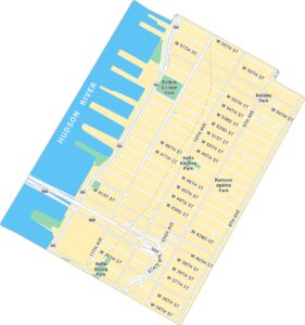
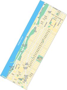
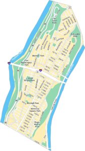
Manhattan Neighborhood Maps
See our neighborhood maps for a closer look of the city.
On the Map
Major Roads: Canal St, Delancey St, Houston St, Bowery, Allen St, Pike St, Broadway, Essex St, Clinton St, Montgomery St, Grand St, Madison St, Cherry St, Water St, South St, Chrystie St, Orchard St, Norfolk St, Pitt St, Columbia St Major Rivers: East River Parks: Hamilton Fish Park, Corlears Hook Park Landmarks: Pier 36 NYCCity Maps of New York
Here are the city maps that define New York


