Jackson Heights Map, New York
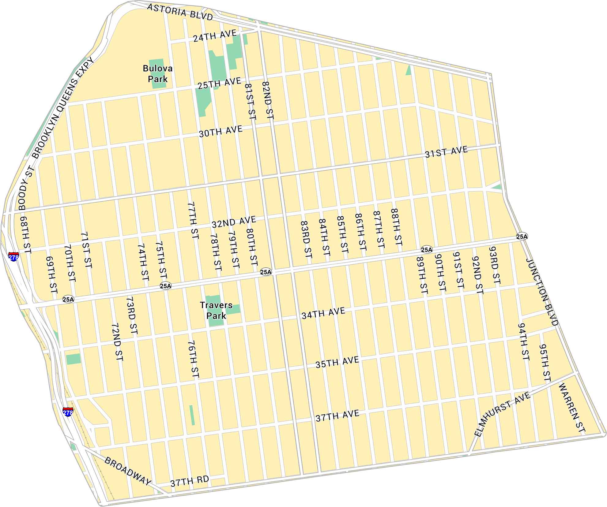
Jackson Heights sits in central Queens, between Roosevelt and Astoria Boulevard. This map shows its highways, streets and parks.
Map Information
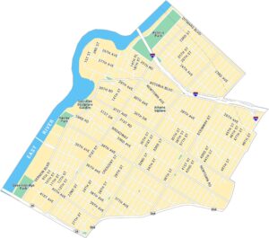
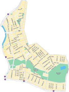
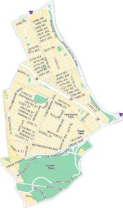
Queens Neighborhood Maps
See our neighborhood maps for a closer look of the city.
On the Map
Interstates/Highways: I-278, Brooklyn Queens Expy Major Roads: Northern Blvd, Roosevelt Ave, Astoria Blvd, Broadway, Junction Blvd, 37th Ave, 34th Ave, 35th Ave, 82nd St, 73rd St, 94th St, Elmhurst Ave, 31st Ave, 32nd Ave, 30th Ave, 25th Ave, 75th St, 81st St, 80th St Parks: Travers Park, Bulova ParkCity Maps of New York
Here are the city maps that define New York


