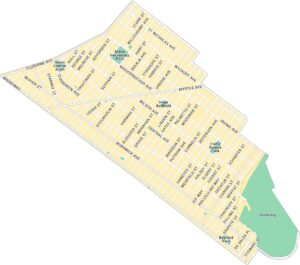
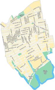
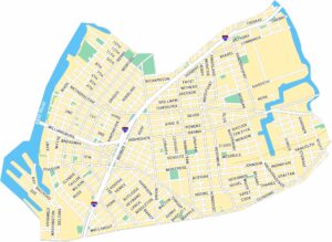
Williamsburg Map, New York
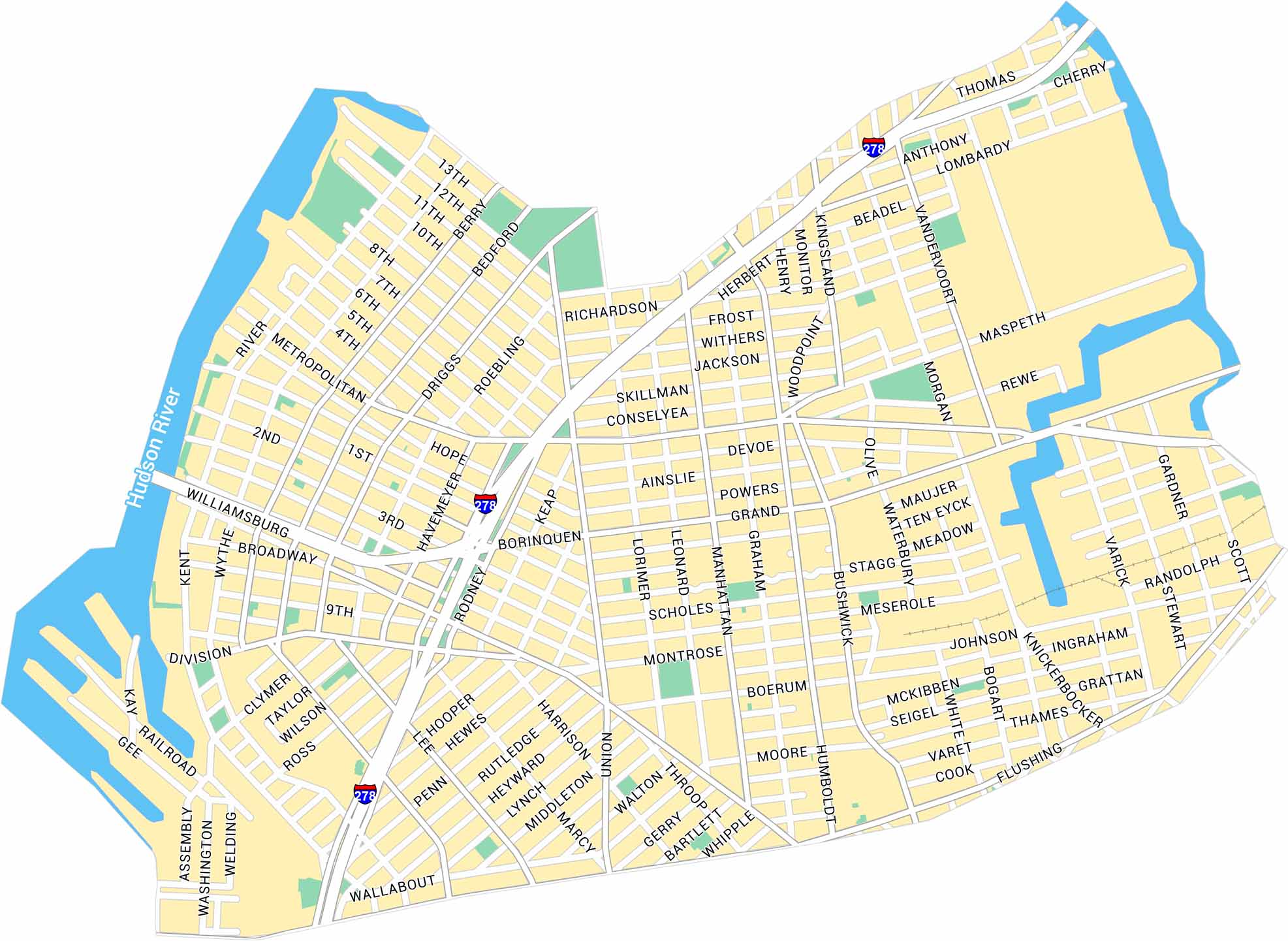
Our map of Williamsburg in New York shows its streets along the East River and into Brooklyn. You’ll see parks, main roads, and the waterfront. The area has a mix of old warehouses, new apartments, and a lively arts scene.
Map Information
On the Map
Interstates/Highways: I-278 Major Roads: Broadway, Metropolitan Ave, Bushwick Ave, Flushing Ave, Union Ave, Grand St, Bedford Ave, Kent Ave, Division Ave, Graham Ave, Montrose Ave, Morgan Ave, Meeker Ave, Maspeth Ave, Driggs Ave, Roebling St, Marcy Ave, Harrison Ave, Wythe Ave, Kingsland Ave Major Rivers: East RiverBrooklyn Neighborhood Maps
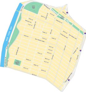
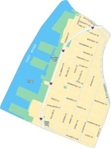
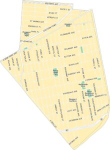
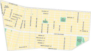
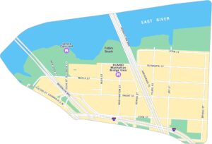
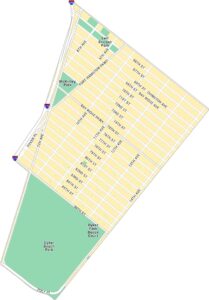
See our neighborhood maps for a closer look of the city.
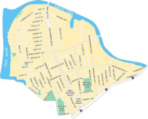
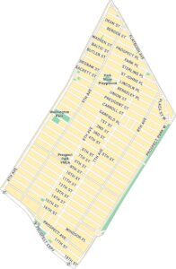
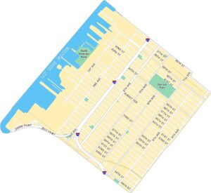
City Maps of New York
Here are the city maps that define New York


