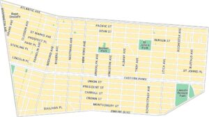
Brownsville Map, New York
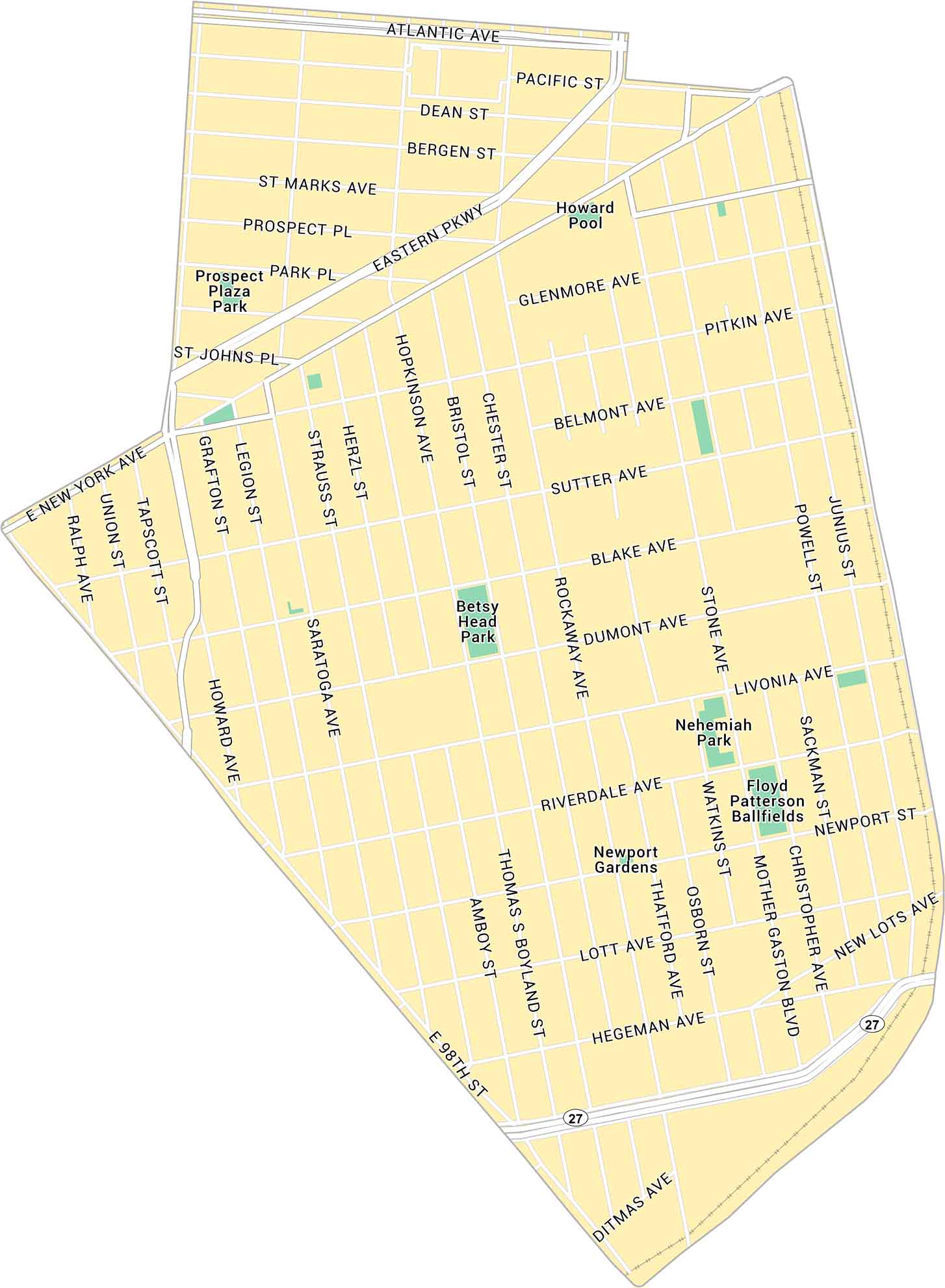
Our map of Brownsville lays out this historic Brooklyn neighborhood in clear detail. It shows major avenues and nearby parks.
Map Information
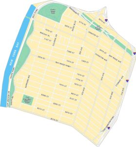
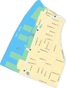
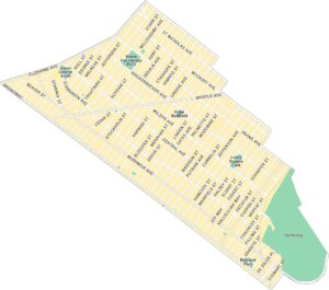
Brooklyn Neighborhood Maps
See our neighborhood maps for a closer look of the city.
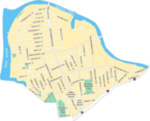
On the Map
Interstates/Highways: Eastern Pkwy, State Route 27 Major Roads: Atlantic Ave, Pitkin Ave, Rockaway Ave, Mother Gaston Blvd, Howard Ave, Saratoga Ave, Thomas S Boyland St, E 98th St, Ditmas Ave, New Lots Ave, Livonia Ave, Riverdale Ave, Hegeman Ave, Sutter Ave, Blake Ave, Dumont Ave, Glenmore Ave, Liberty Ave, Hopkinson Ave Parks: Betsy Head Park, Nehemiah Park, Prospect Plaza Park, Newport Gardens Facilities: Howard Pool, Floyd Patterson BallfieldsCity Maps of New York
Here are the city maps that define New York


