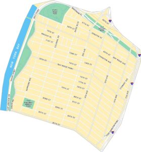
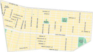
East New York Map City

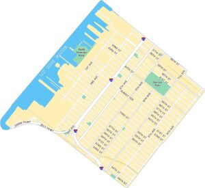
Our map of East New York shows the large Brooklyn neighborhood near the city’s eastern edge. It outlines major roads, parks, and waterways running through the area.
Map Information
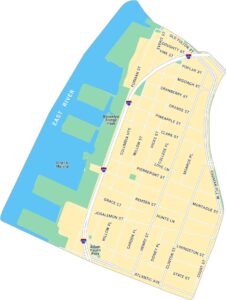
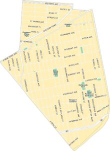
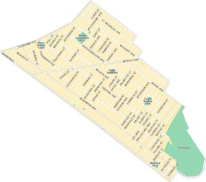
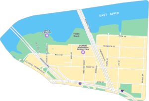
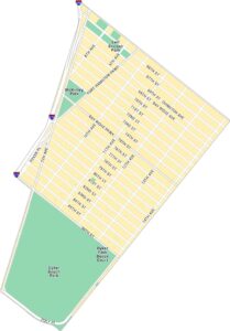
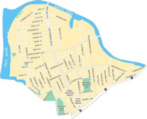
Brooklyn Neighborhood Maps
See our neighborhood maps for a closer look of the city.
On the Map
Interstates/Highways: I-678 Major Roads: Atlantic Ave, Pennsylvania Ave, Linden Blvd, Conduit Blvd, Flatlands Ave, Belt Pkwy, Jamaica Ave, Liberty Ave, Pitkin Ave, New Lots Ave, Fountain Ave, Gateway Dr, Seaview Ave, Cozine Ave, Wortman Ave, Stanley Ave, Hegeman Ave, Livonia Ave, Blake Ave, Sutter Ave Creeks/Rivers: Hendrix Creek Parks: Shirley Chisholm State Park, Highland Park, Starrett City ParkCity Maps of New York
Here are the city maps that define New York


