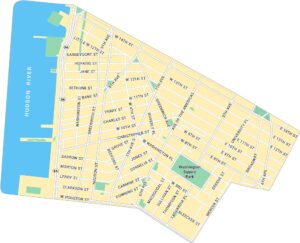
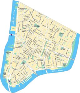
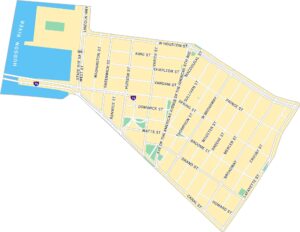
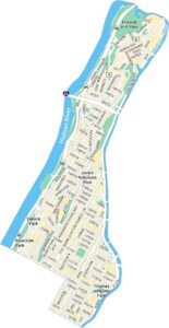
Upper West Side Map, New York
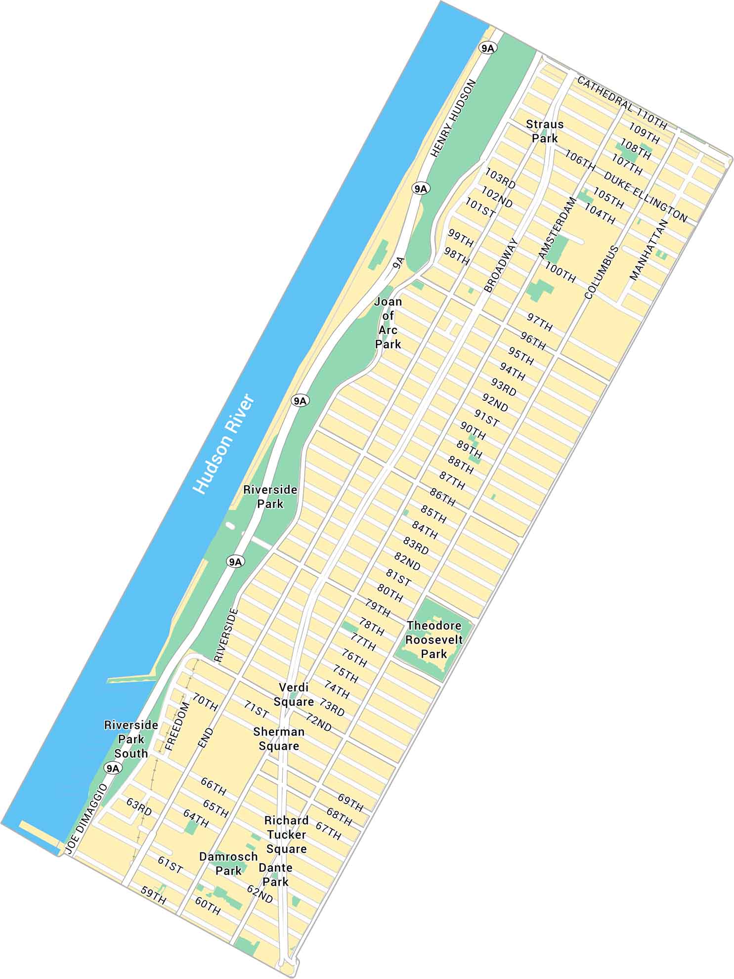
Our map of Upper West Side shows Broadway, Riverside Park, and the quiet blocks near Central Park. It’s cultured, neighborly, and feels a little slower. But it’s still unmistakably Manhattan.
Map Information
On the Map
Interstates/Highways: Henry Hudson Pkwy (NY 9A) Major Roads: Broadway, Amsterdam Ave, Columbus Ave, Manhattan Ave, Riverside Dr, Cathedral Pkwy, Duke Ellington Blvd, Joe DiMaggio Hwy, Freedom Pl, 72nd St, 79th St, 86th St, 96th St, 106th St, 110th St, West End Ave Major Rivers: Hudson River Parks: Riverside Park, Riverside Park South, Joan of Arc Park, Theodore Roosevelt Park, Straus Park, Verdi Square, Sherman Square, Richard Tucker Square, Damrosch Park, Dante ParkManhattan Neighborhood Maps
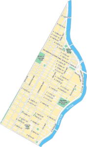
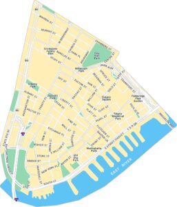
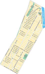
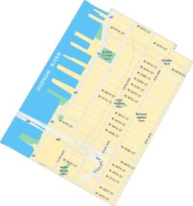
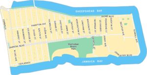
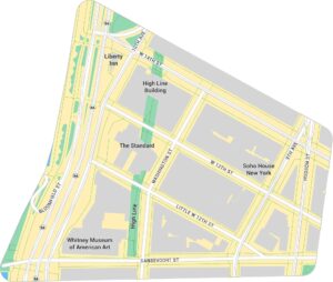
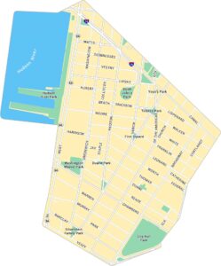
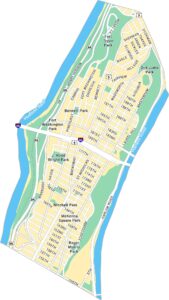
See our neighborhood maps for a closer look of the city.
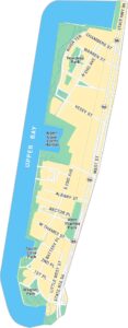
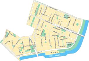
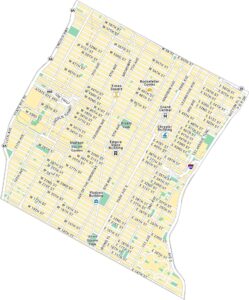
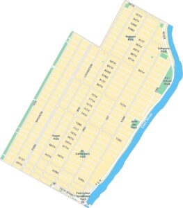
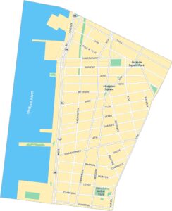
City Maps of New York
Here are the city maps that define New York


