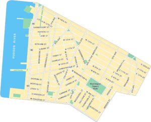
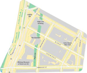
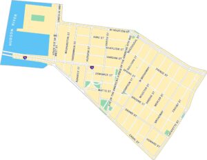
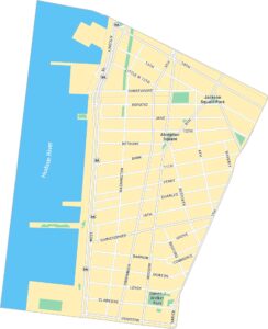
Union Square Map, New York
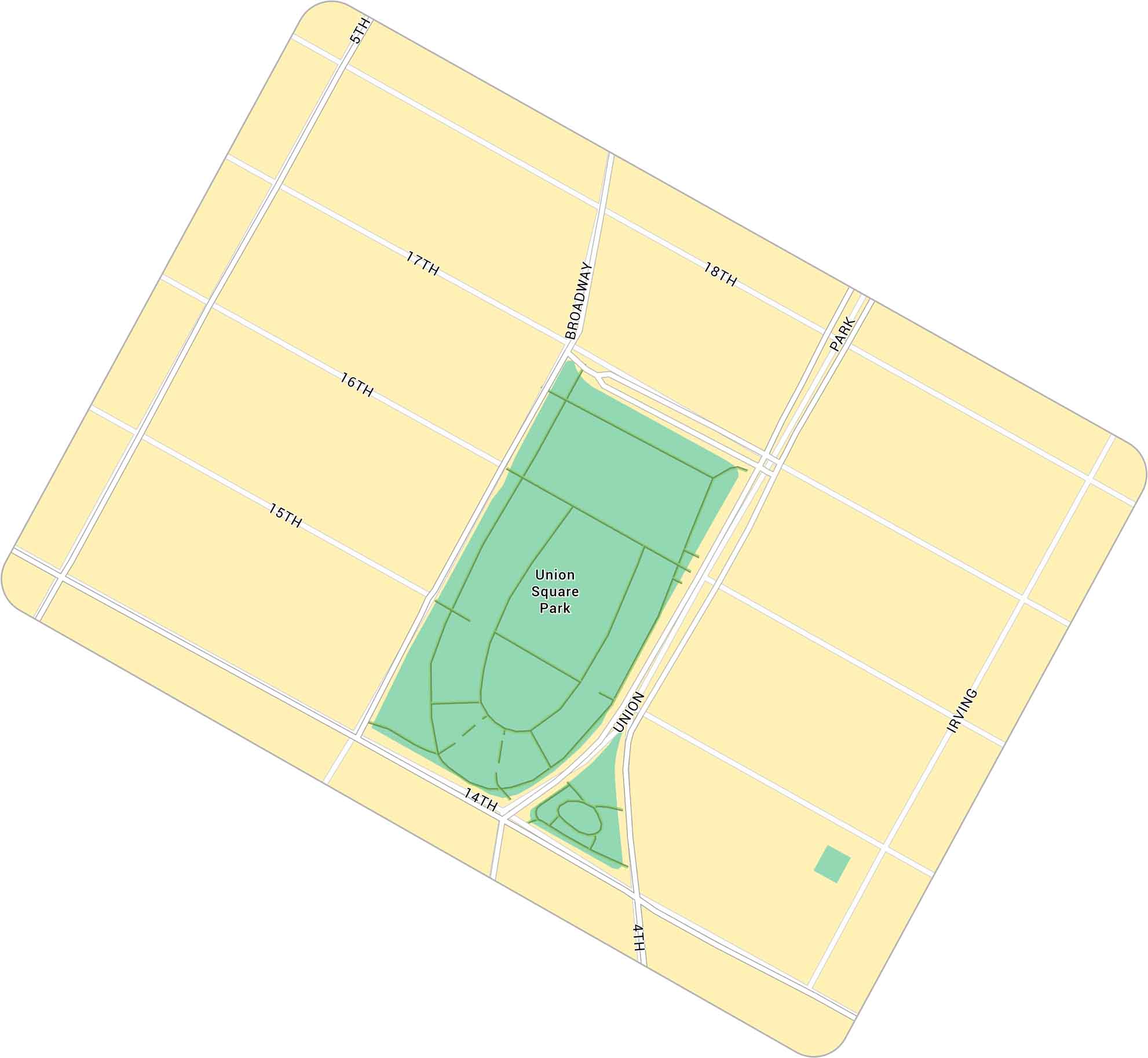
Union Square in New York is a spot of downtown energy. Our map shows the busy park, pathways and streets that surround the green space. It’s a crossroads of movement here in Manhattan.
Map Information
On the Map
Major Roads: Broadway, Park Ave, 14th St, 5th Ave, 4th Ave, Union Sq E, Union Sq W, 18th St, 17th St, 16th St, 15th St, Irving Pl Parks: Union Square ParkManhattan Neighborhood Maps
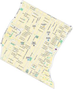
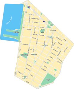
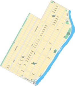
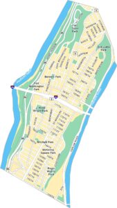
See our neighborhood maps for a closer look of the city.
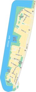
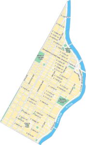
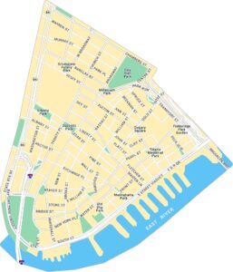
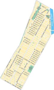
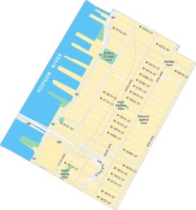
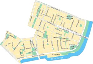
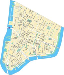
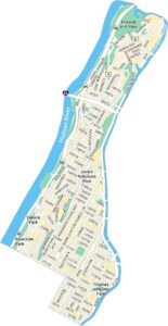
City Maps of New York
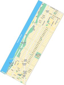
Here are the city maps that define New York


