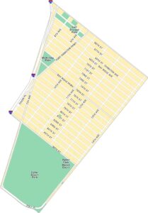
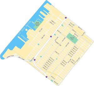
DUMBO Map, New York
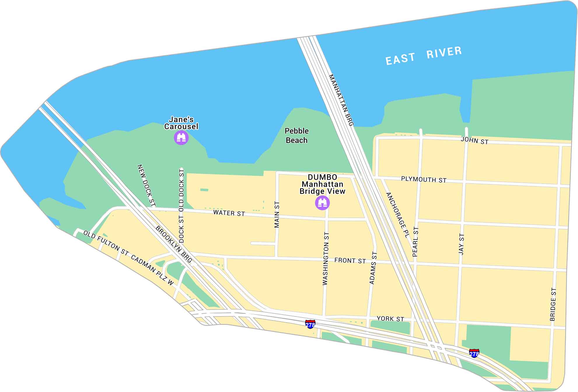
See DUMBO with our map, marking the stretch between the Brooklyn and Manhattan Bridges. It shows its streets, parks and the Manhattan Bridge view spot along Washington Street. DUMBO stands for “Down Under the Manhattan Bridge Overpass” so this map just makes sense.
Map Information
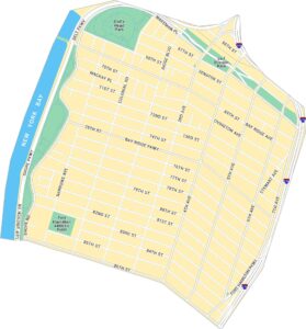
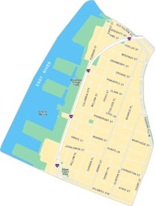
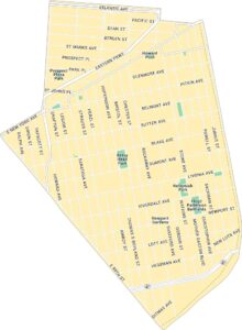
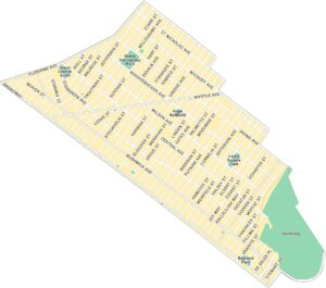
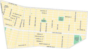
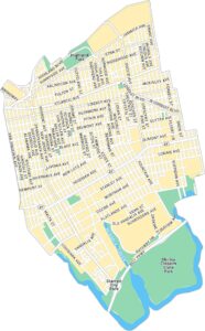
Brooklyn Neighborhood Maps
See our neighborhood maps for a closer look of the city.
On the Map
Interstates/Highways: I-278 Major Roads: Brooklyn Brg, Manhattan Brg, York St, Front St, Water St, Main St, Washington St, Adams St, Jay St, Bridge St, Old Fulton St, Cadman Plz W, Plymouth St, John St, Pearl St, Anchorage Pl, New Dock St, Old Dock St Major Rivers: East River Landmarks: Pebble Beach, Jane’s Carousel, DUMBO Manhattan Bridge ViewCity Maps of New York
Here are the city maps that define New York


