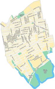
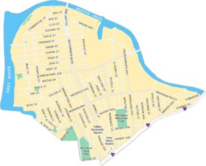
Bay Ridge Map, New York
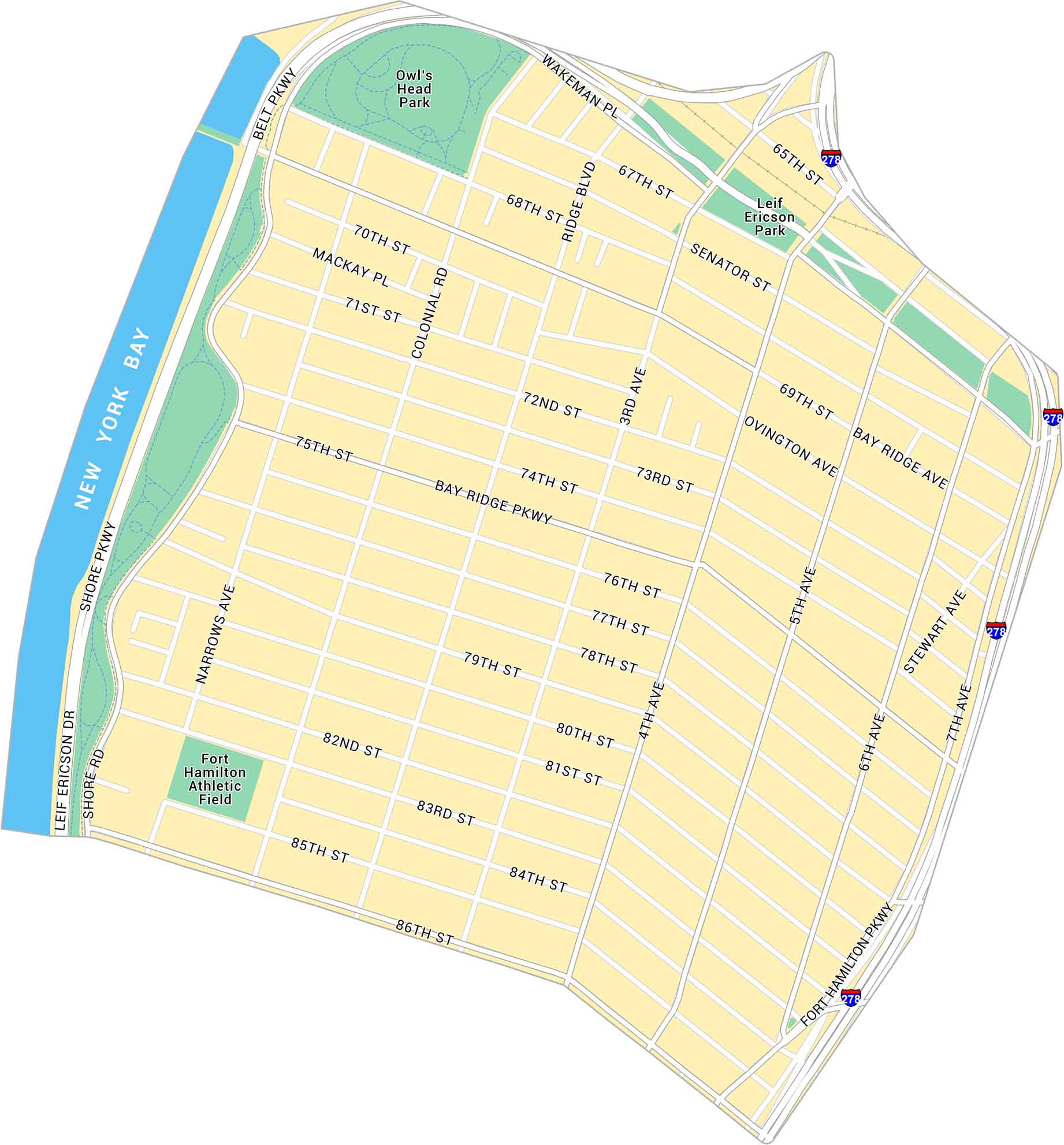
This map covers Bay Ridge along Brooklyn’s waterfront. It lays out Shore Road, local parks, and Interstate 278 at the edge of the map.
Map Information
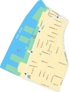
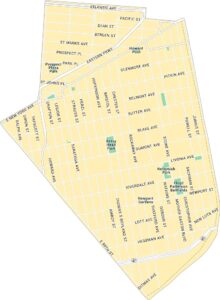
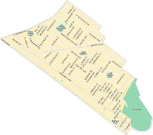
Brooklyn Neighborhood Maps
See our neighborhood maps for a closer look of the city.
On the Map
Interstates/Highways: I-278 Major Roads: Belt Pkwy, Fort Hamilton Pkwy, 4th Ave, 5th Ave, 86th St, Bay Ridge Pkwy, Shore Rd, 3rd Ave, 7th Ave, Bay Ridge Ave, Ridge Blvd, Narrows Ave, Colonial Rd, Ovington Ave, Mackay Pl, Wakeman Pl, Senator St, Stewart Ave, 65th St, 75th St Bays/Rivers: New York Bay Parks: Owl’s Head Park, Leif Ericson Park Landmarks: Fort Hamilton Athletic FieldCity Maps of New York
Here are the city maps that define New York


