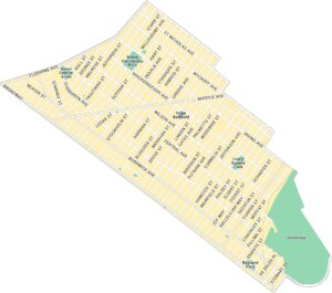
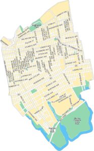
Sunset Park Map, New York
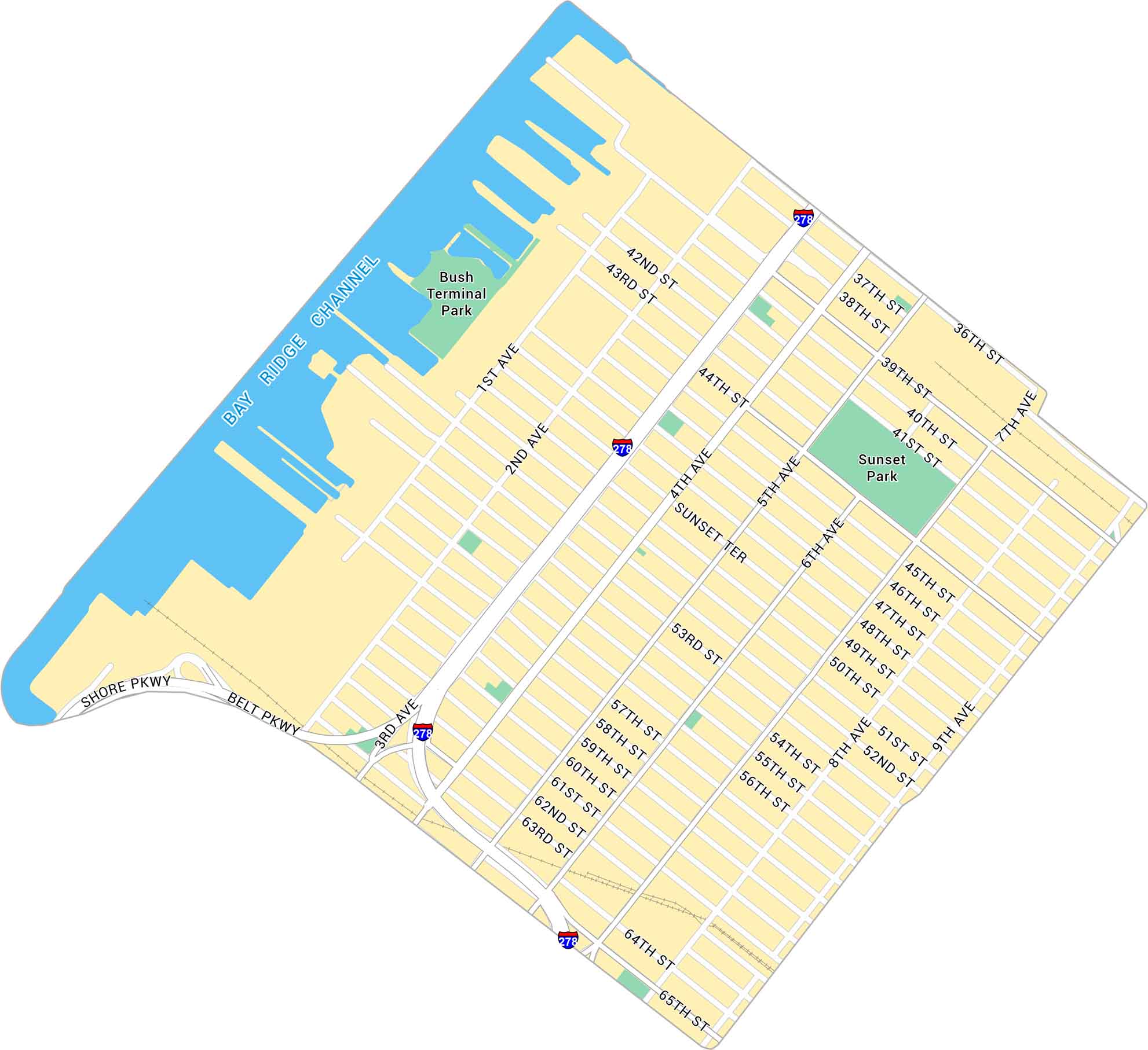
Sunset Park sits high on Brooklyn’s western edge, overlooking New York Harbor. Our map shows its network of streets, green parkland, and industrial waterfront.
Map Information
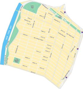
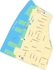
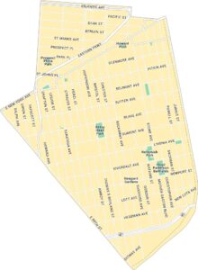
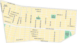
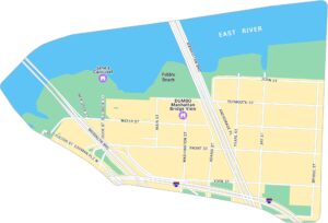
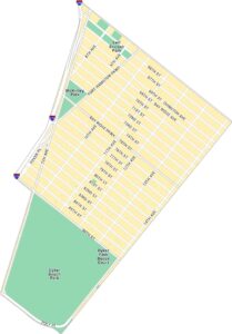
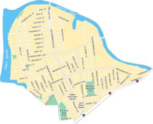
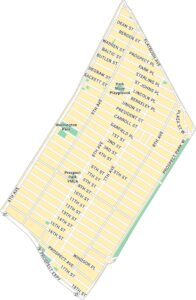
Brooklyn Neighborhood Maps
See our neighborhood maps for a closer look of the city.
On the Map
Interstates/Highways: I-278 Major Roads: 3rd Ave, 4th Ave, 5th Ave, 36th St, 39th St, 65th St, Belt Pkwy, Shore Pkwy, 7th Ave, 8th Ave, 9th Ave, 1st Ave, 2nd Ave, 60th St, 44th St, 50th St, Sunset Ter Channels/Rivers: Bay Ridge Channel Parks: Sunset Park, Bush Terminal ParkCity Maps of New York
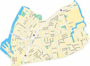
Here are the city maps that define New York


