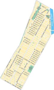
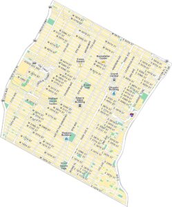
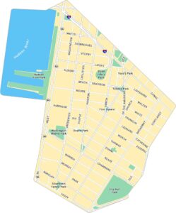
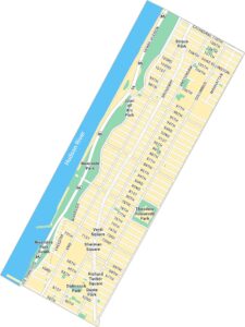
East Harlem Map, New York
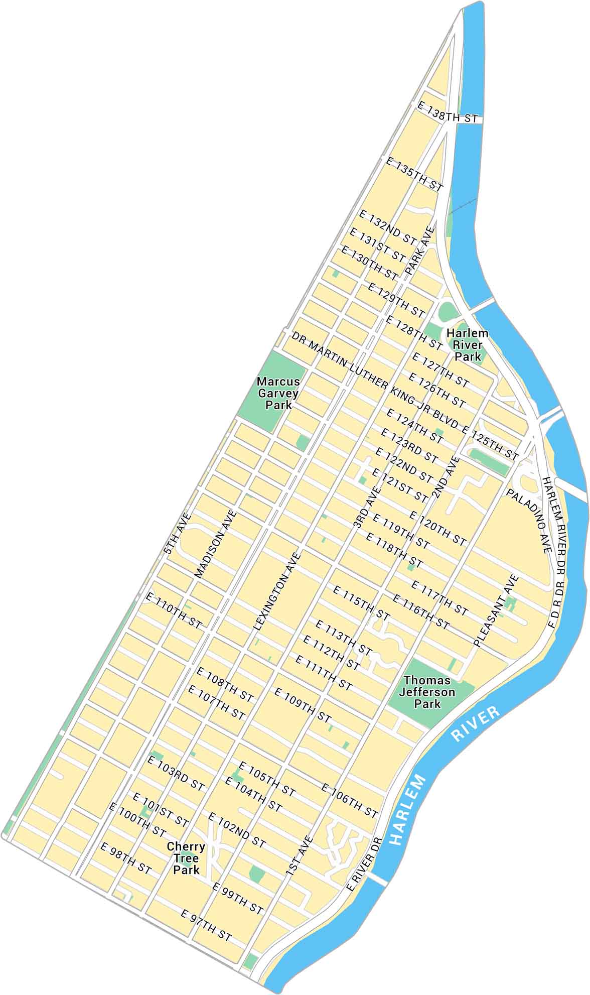
Our map of East Harlem shows the uptown Manhattan neighborhood between the Harlem River and Central Park. It displays main avenues and local parks in this dense, historic part of the city.
Map Information
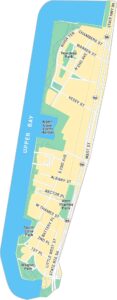
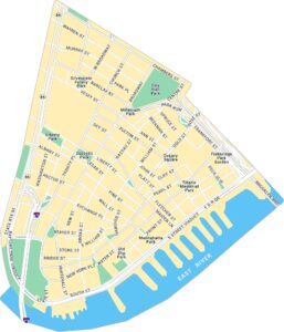
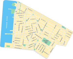
Manhattan Neighborhood Maps
See our neighborhood maps for a closer look of the city.
On the Map
Interstates/Highways: FDR Dr Major Roads: 125th St, 116th St, 110th St, 96th St, 138th St, 135th St, 128th St, 115th St, 106th St, 1st Ave, 2nd Ave, 3rd Ave, Lexington Ave, Park Ave, Madison Ave, 5th Ave, Martin Luther King Jr Blvd, Paladino Ave, Pleasant Ave, River Dr Major Rivers: Harlem River Parks: Marcus Garvey Park, Thomas Jefferson Park, Harlem River Park, Cherry Tree ParkCity Maps of New York
Here are the city maps that define New York


