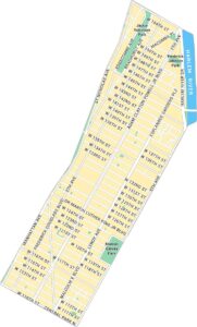
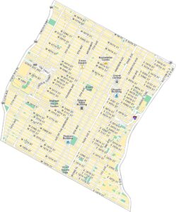
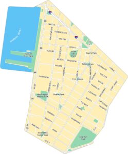
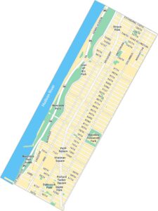
Financial District Map, New York
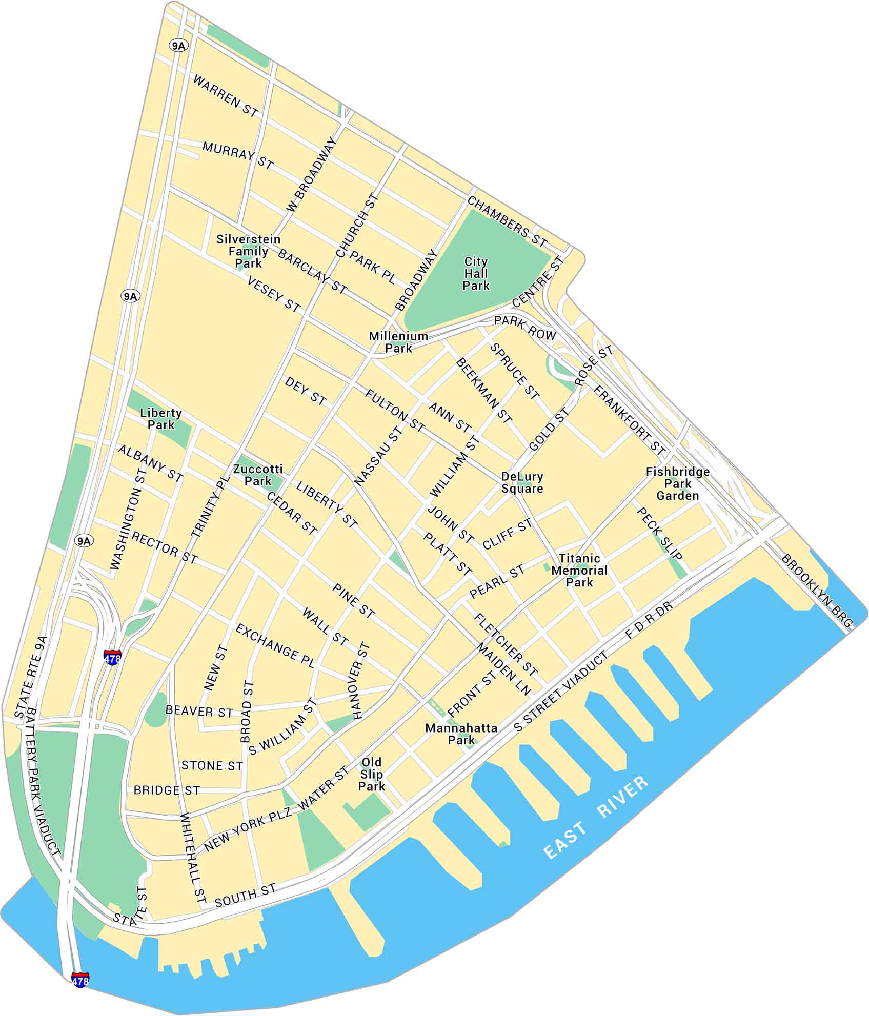
Our map of the Financial District shows the southern tip of Manhattan. It marks Wall Street, Battery Park, and the maze of narrow downtown streets.
Map Information
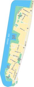
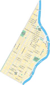
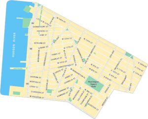
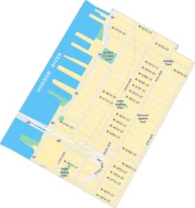
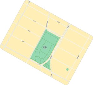
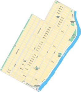
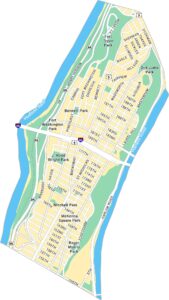
Manhattan Neighborhood Maps
See our neighborhood maps for a closer look of the city.
On the Map
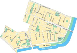
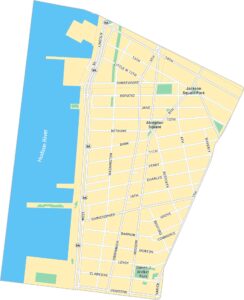
Interstates/Highways: I-478, FDR Dr, State Rte 9A Major Roads: Broadway, Wall St, Water St, Chambers St, Fulton St, Pearl St, Maiden Ln, Whitehall St, South St, Broad St, William St, Nassau St, Church St, West Broadway, Centre St, Park Row, Vesey St, Murray St, Warren St, Washington St Major Rivers: East River Parks: City Hall Park, Liberty Park, Zuccotti Park, Silverstein Family Park, Millenium Park, DeLury Square, Titanic Memorial Park, Fishbridge Park Garden, Mannahatta Park, Old Slip Park Landmarks: Brooklyn BridgeCity Maps of New York
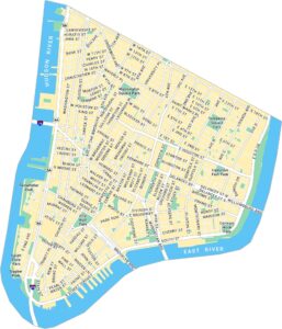
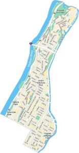
Here are the city maps that define New York


