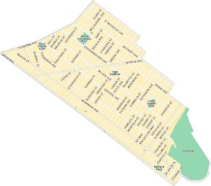
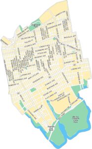
Park Slope Map, New York
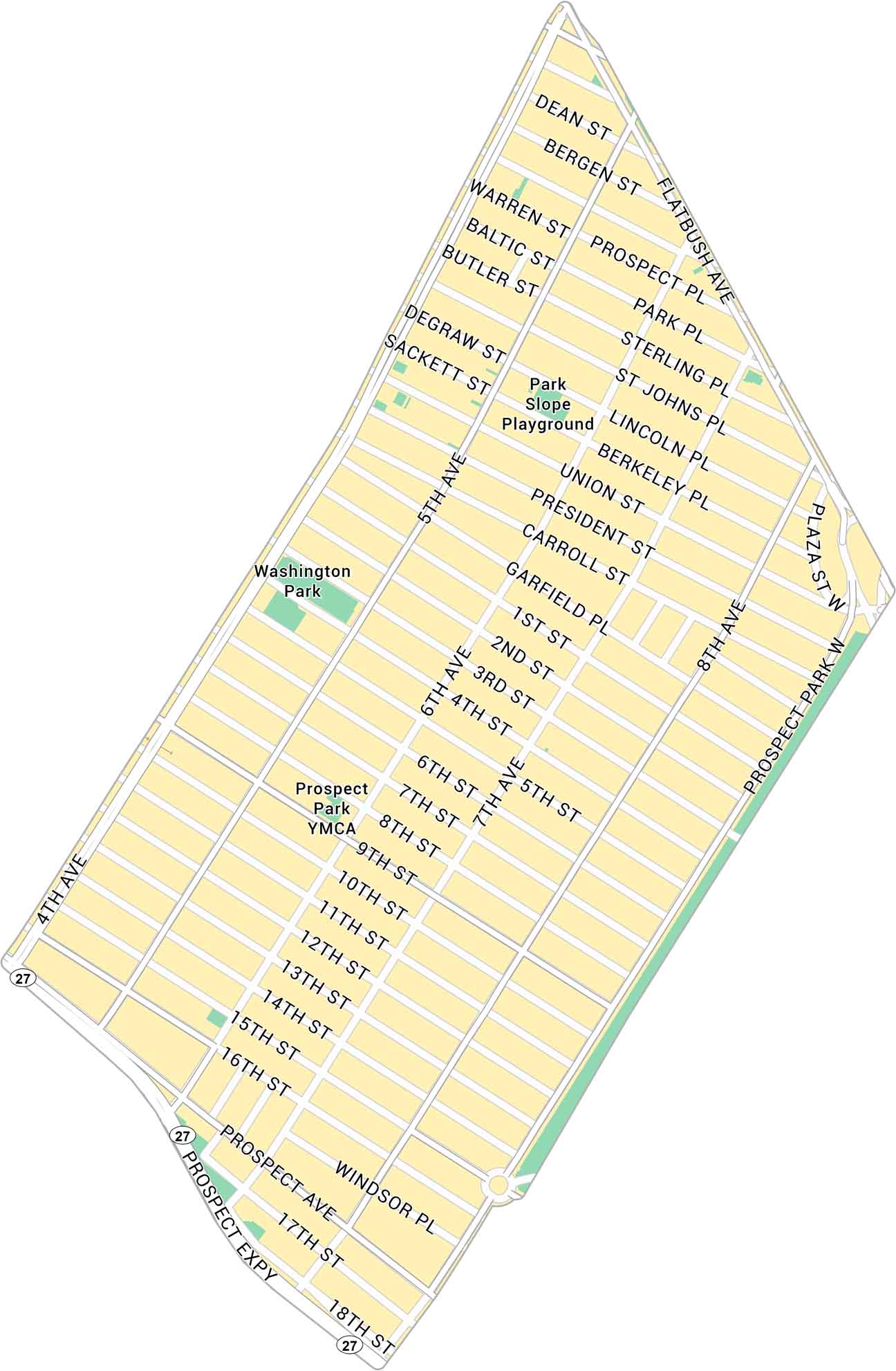
Our map of Park Slope shows this NYC neighborhood that stretches along Prospect Park. It includes main roads and green spaces. It’s a classic South Brooklyn neighborhood with easy park access.
Map Information
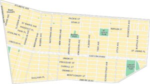
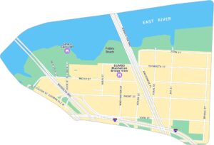
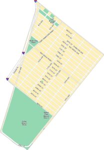
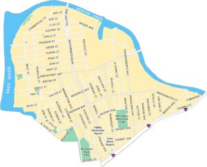
Brooklyn Neighborhood Maps
See our neighborhood maps for a closer look of the city.
On the Map
Highways: Prospect Expy, State Hwy 27 Major Roads: Flatbush Ave, 4th Ave, 5th Ave, Prospect Park W, Union St, 9th St, 15th St, Bergen St, Dean St, Sterling Pl, St Johns Pl, Lincoln Pl, President St, Carroll St, Garfield Pl, 1st St, 2nd St, 3rd St, 7th Ave Parks: Washington Park, Park Slope Playground, Prospect Park YMCACity Maps of New York
Here are the city maps that define New York


