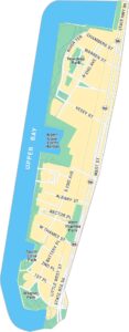
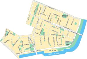
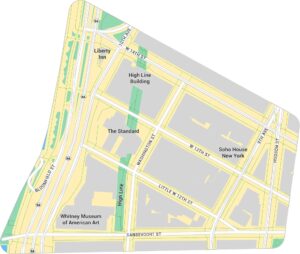
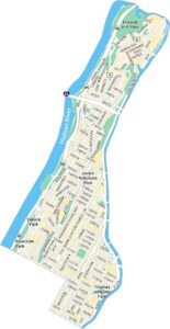
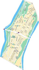
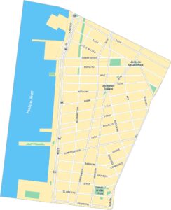
Tribeca Map, New York

Tribeca is one of New York’s most distinct neighborhoods. It’s especially known for its cobblestone streets, and riverfront views. Our map of Tribeca highlights its major roads, nearby piers, and parks.
Map Information
On the Map
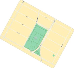
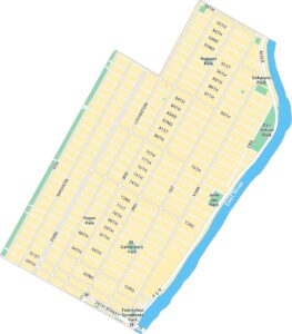
Interstates/Highways: I-78 Major Roads: Broadway, West St, Canal St, Hudson St, Varick St, Chambers St, Church St, Greenwich St, Ave of the Americas, Park Pl, Barclay St, Vesey St, Worth St, Leonard St, Franklin St, Harrison St, Duane St, Warren St, Murray St, Watts St Major Rivers: Hudson River Parks: Hudson River Park, Washington Market Park, City Hall Park, Duane Park, Saint John’s Park, Tribeca Park, Yoya’s Park, Silverstein Family Park, Finn SquareManhattan Neighborhood Maps
See our neighborhood maps for a closer look of the city.
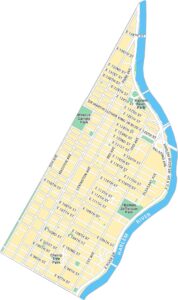
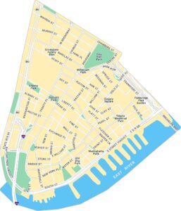
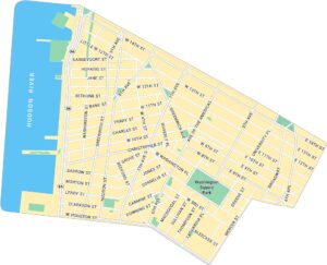
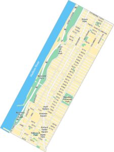
City Maps of New York
Here are the city maps that define New York


