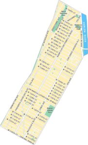
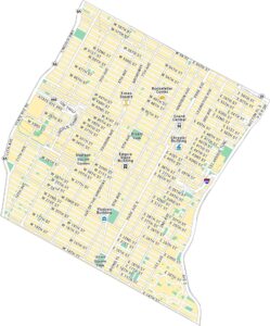
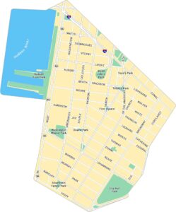
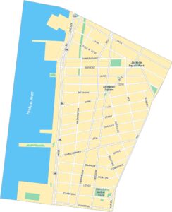
Greenwich Village Map, New York
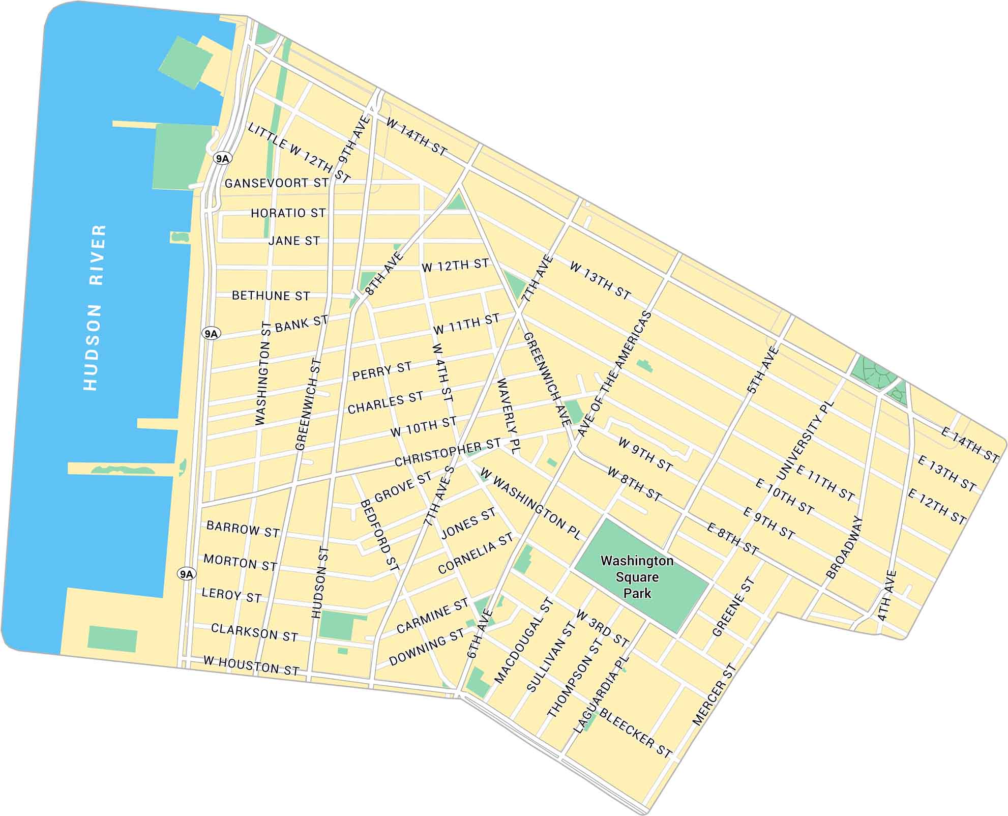
Greenwich Village sits below 14th Street in Lower Manhattan. Our map shows its narrow streets, the Hudson River and Washington Square Park.
Map Information
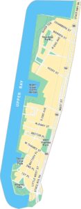
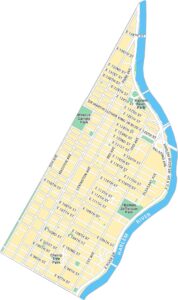
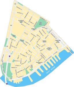
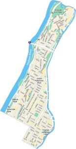
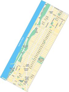
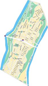
Manhattan Neighborhood Maps
See our neighborhood maps for a closer look of the city.
On the Map
Interstates/Highways: State Rte 9A Major Roads: 14th St, Houston St, Broadway, 6th Ave, 7th Ave, 8th Ave, 5th Ave, 4th Ave, University Pl, Greenwich Ave, Hudson St, Washington St, Christopher St, Bleecker St, Macdougal St, Sullivan St, Thompson St, Laguardia Pl, West Washington Pl, Waverly Pl Major Rivers: Hudson River Parks: Washington Square ParkCity Maps of New York
Here are the city maps that define New York


