Withlacoochee River Map
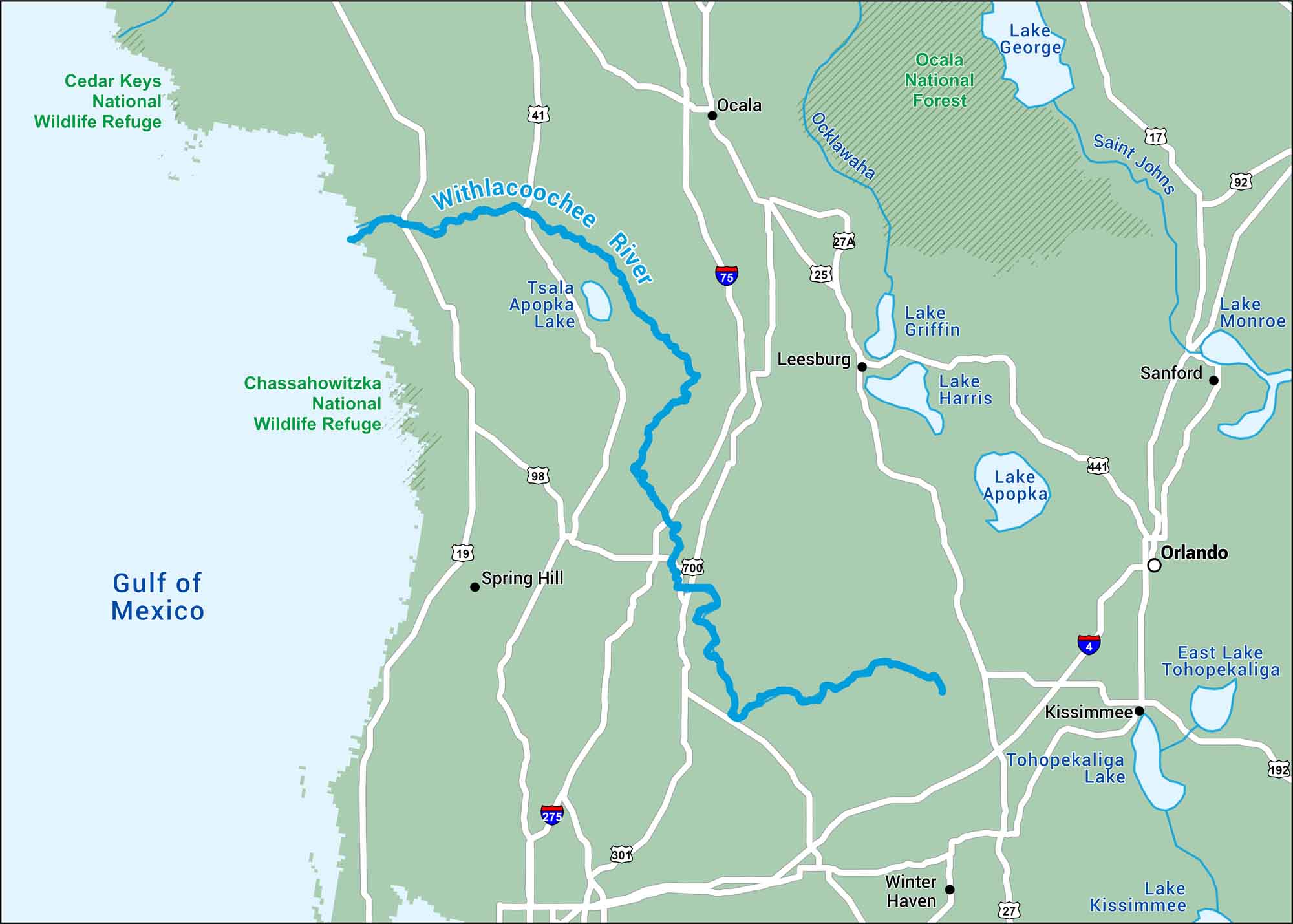
This map of the Withlacoochee River displays its slow curve through west-central Florida. It passes swamps and small rural towns on its way to the Gulf.
Map Information
On the Map
Interstates: I-4, I-75 Major Highways: US Hwy 19, US Hwy 27, US Hwy 41, US Hwy 98, US Hwy 301 Rivers/Lakes: Withlacoochee River, Hillsborough River, Peace River, Lake Panasoffkee, Lake Rousseau, Tsala Apopka Lake States: Florida Cities/Towns: Tampa, Lakeland, Spring Hill, Ocala
US Maps
Lakes and Rivers Map
Our map of America’s lakes and rivers shows the major waterways that define the country’s landscape.
Waterway Maps
Explore America’s waterways.


