Wabash River Map
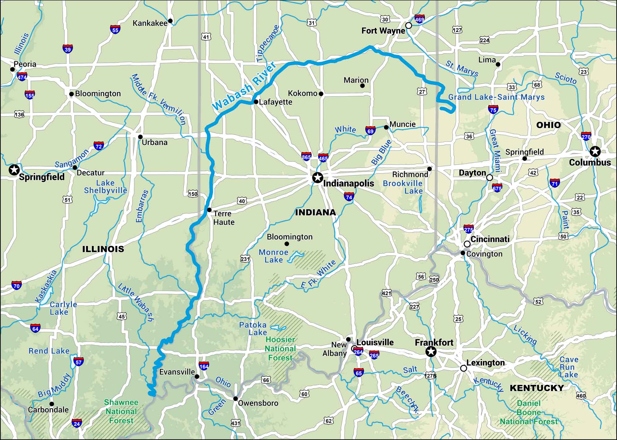
Take a look at our Wabash River map stretching across Indiana. The river moves from Ohio’s border to the Illinois line, running beside farmland and old industrial towns. It’s a quiet but steady landmark through the state’s heartland.
Map Information
On the Map
Interstates: I-55, I-57, I-64, I-65, I-69, I-70, I-72, I-74, I-80, I-90, I-94 Major Highways: US Hwy 20, US Hwy 24, US Hwy 30, US Hwy 31, US Hwy 33, US Hwy 35, US Hwy 36, US Hwy 40, US Hwy 41, US Hwy 45, US Hwy 50, US Hwy 51, US Hwy 52, US Hwy 150, US Hwy 231, US Hwy 421 Rivers/Lakes: Wabash River, White River, East Fork White River, Tippecanoe River, Eel River, Salamonie River, Mississinewa River, Ohio River, Kaskaskia River, Illinois River, Lake Michigan National Forests: Shawnee National Forest, Hoosier National Forest States: Indiana, Illinois, Ohio, Kentucky Cities/Towns: Indianapolis, Chicago, Fort Wayne, Evansville, South Bend, Lafayette, Terre Haute, Bloomington, Muncie, Kokomo, Anderson, Vincennes
US Maps
Lakes and Rivers Map
Our map of America’s lakes and rivers shows the major waterways that define the country’s landscape.
Waterway Maps
Explore America’s waterways.


