Suwannee River Map
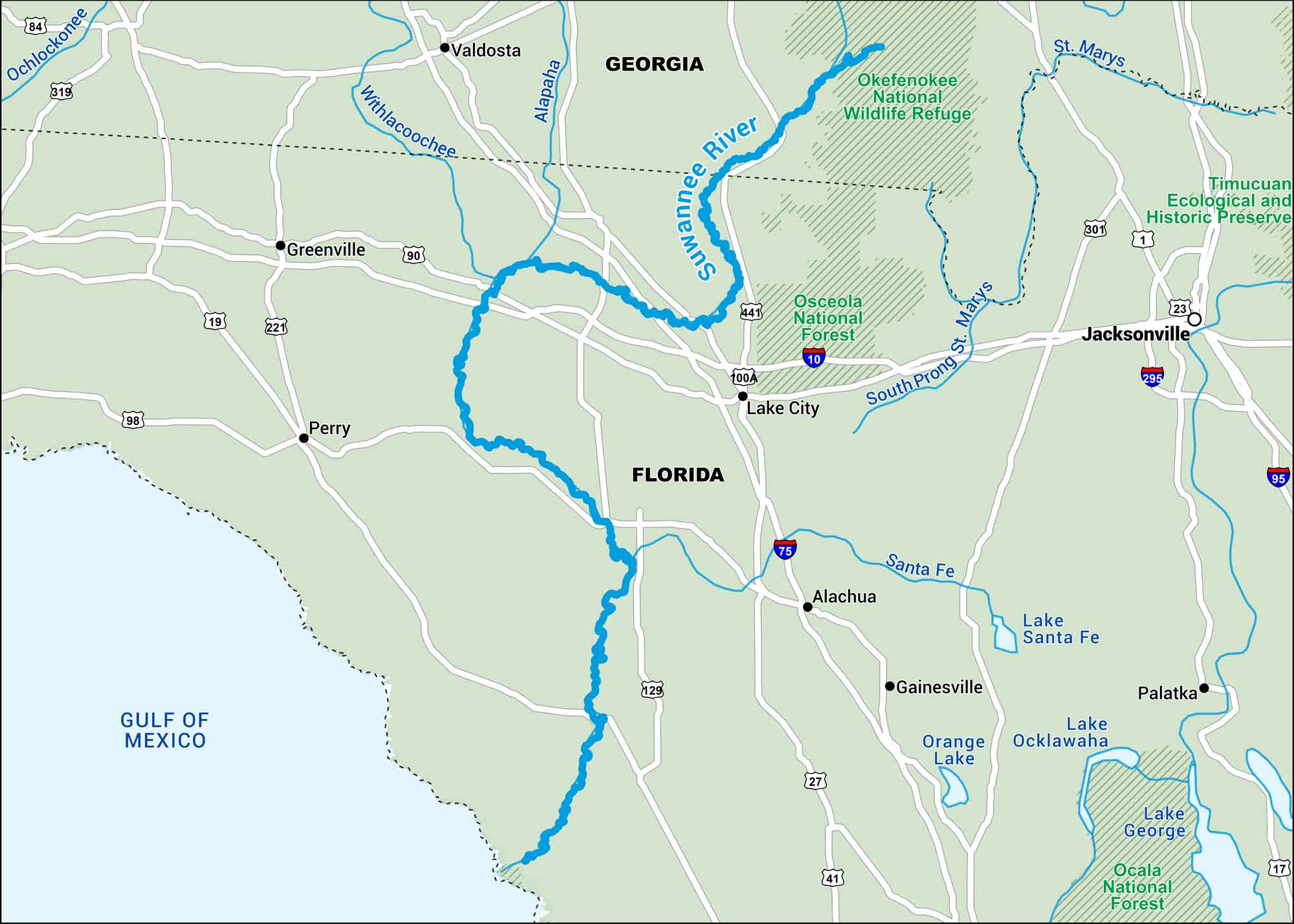
This Suwannee River map takes you from the Okefenokee Swamp all the way to the Gulf. It winds through cypress forests and quiet stretches of North Florida. It’s humid, green, and still feels wild in most places.
Map Information
On the Map
Interstates: I-10, I-75 Major Highways: US Hwy 19, US Hwy 27, US Hwy 41, US Hwy 84, US Hwy 90, US Hwy 129, US Hwy 221, US Hwy 319, US Hwy 441, State Rte 100A Major Rivers: Suwannee River, Santa Fe River, Alapaha River, Withlacoochee River National Forests and Parks: Okefenokee National Wildlife Refuge, Osceola National Forest States: Georgia, Florida Cities/Towns: Valdosta, Lake City, Waycross, Live Oak
US Maps
Lakes and Rivers Map
Our map of America’s lakes and rivers shows the major waterways that define the country’s landscape.
Waterway Maps
Explore America’s waterways.


