Shenandoah River Map
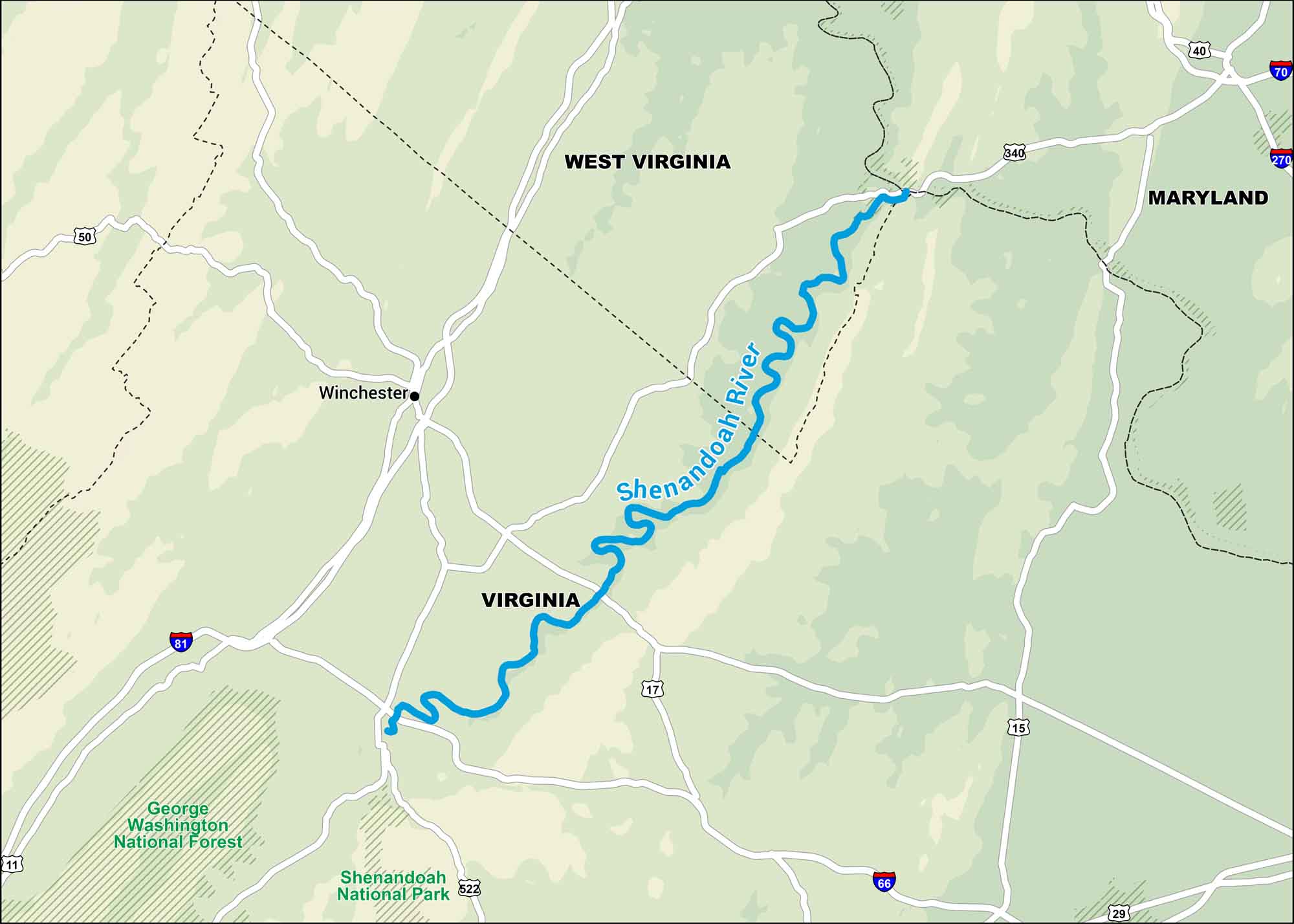
This map shows the Shenandoah winding its way through Virginia and West Virginia. It’s one of those rivers that feels peaceful no matter where you stop along it.
Map Information
On the Map
Interstates: I-66, I-70, I-81, I-270 Major Highways: US Hwy 11, US Hwy 15, US Hwy 17, US Hwy 29, US Hwy 40, US Hwy 50, US Hwy 340, US Hwy 522 National Forests and Parks: Shenandoah National Park, George Washington National Forest States: Virginia, West Virginia, Maryland Cities/Towns: Winchester
US Maps
Lakes and Rivers Map
Our map of America’s lakes and rivers shows the major waterways that define the country’s landscape.
Waterway Maps
Explore America’s waterways.


