Santa Fe River Map
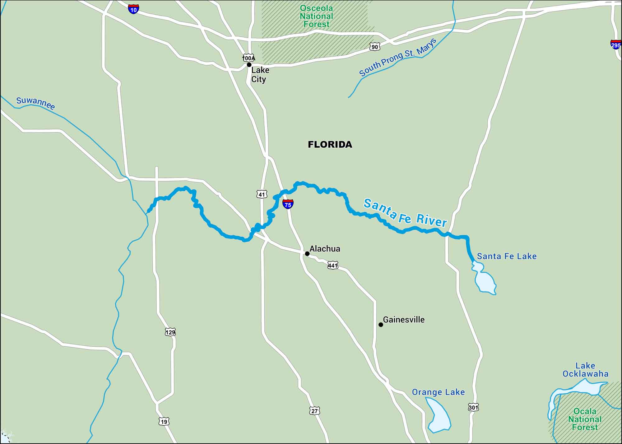
This map shows the Santa Fe River flowing quietly through northern Florida. Parts of it disappear underground and reemerge miles later. It’s a hidden river that’s as mysterious as it is beautiful.
Map Information
On the Map
Interstates: I-10, I-75, I-295 Major Highways: US Hwy 19, US Hwy 27, US Hwy 41, US Hwy 90, US Hwy 129, US Hwy 301, US Hwy 441 Rivers/Lakes: Santa Fe River, Suwannee River, South Prong St. Marys River, Santa Fe Lake, Orange Lake, Lake Ocklawaha National Forests: Osceola National Forest, Ocala National Forest States: Florida Cities/Towns: Gainesville, Lake City, Alachua
US Maps
Lakes and Rivers Map
Our map of America’s lakes and rivers shows the major waterways that define the country’s landscape.
Waterway Maps
Explore America’s waterways.


