San Antonio River Map
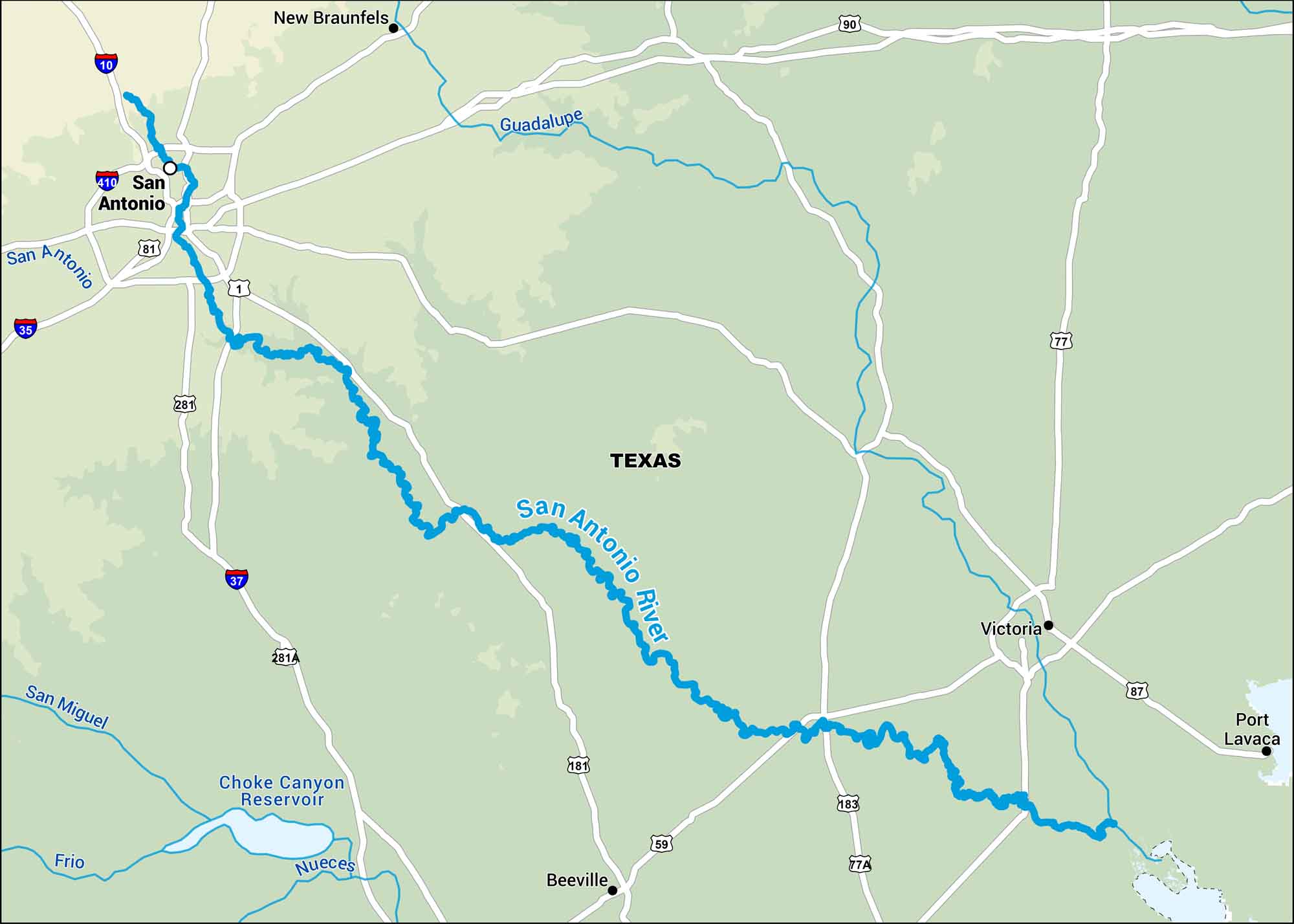
Our map of the San Antonio River follows its path through south-central Texas, right through the heart of San Antonio. It’s the lifeblood of the city, feeding the famous River Walk.
Map Information
On the Map
Interstates: I-10, I-35, I-37 Major Highways: US Hwy 59, US Hwy 77, US Hwy 77a, US Hwy 81, US Hwy 87, US Hwy 90, US Hwy 181, US Hwy 183, US Hwy 281 Rivers/Reservoirs: San Antonio River, Guadalupe River, San Miguel River, Frio River, Nueces River, Choke Canyon Reservoir States: Texas Cities/Towns: San Antonio, Victoria, Beeville, New Braunfels, Port Lavaca
US Maps
Lakes and Rivers Map
Our map of America’s lakes and rivers shows the major waterways that define the country’s landscape.
Waterway Maps
Explore America’s waterways.


