Sacramento River Map
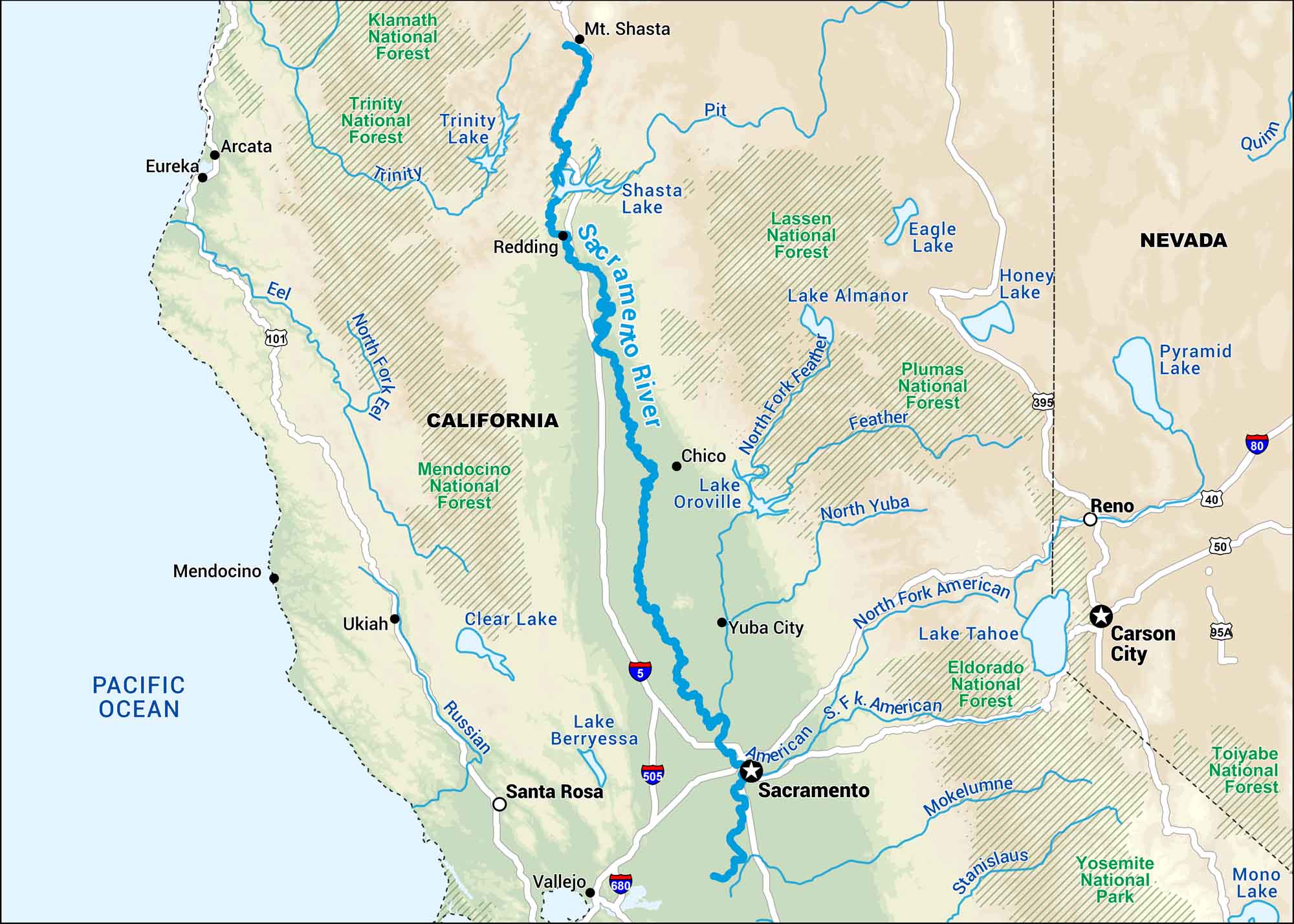
This map shows the Sacramento River stretching from Northern California’s mountains down to the delta near San Francisco Bay. It’s a major artery for both wildlife and the state’s water supply.
Map Information
On the Map
Interstates: I-5, I-80, I-505, I-680 Major Highways: US Hwy 40, US Hwy 50, US Hwy 95, US Hwy 95a, US Hwy 101, US Hwy 395 Rivers/Lakes: Sacramento River, Pit River, Feather River, American River, Mokelumne River, Stanislaus River, Russian River, Eel River, Trinity River, Quinn River, Shasta Lake, Trinity Lake, Lake Almanor, Eagle Lake, Honey Lake, Pyramid Lake, Lake Tahoe, Mono Lake, Lake Berryessa, Pacific Ocean National Forests and Parks: Klamath National Forest, Trinity National Forest, Lassen National Forest, Plumas National Forest, Tahoe National Forest, Eldorado National Forest, Stanislaus National Forest, Yosemite National Park, Toiyabe National Forest, Mendocino National Forest States: California, Nevada Cities/Towns: Sacramento, Reno, Redding, Chico, Yuba City, Santa Rosa, Vallejo, Carson City, Ukiah, Mendocino, Fort Bragg, Eureka, Arcata, Stockton
US Maps
Lakes and Rivers Map
Our map of America’s lakes and rivers shows the major waterways that define the country’s landscape.
Waterway Maps
Explore America’s waterways.


