Saco River Map
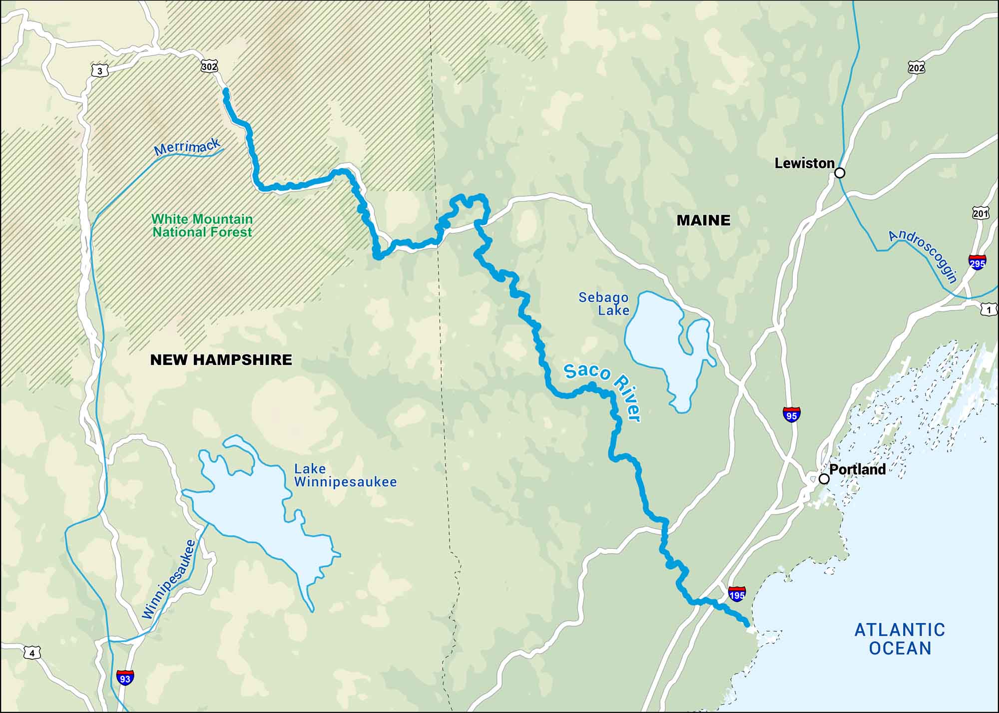
Our map of the Saco River runs from the White Mountains through small towns into southern Maine. It’s a peaceful river that ends at the Atlantic near Old Orchard Beach.
Map Information
On the Map
Interstates: I-93, I-95, I-195, I-295 Major Highways: US Hwy 1, US Hwy 3, US Hwy 4, US Hwy 201, US Hwy 202, US Hwy 302 Rivers/Reservoirs: Saco River, Merrimack River, Winnipesaukee River, Androscoggin River, Sebago Lake, Lake Winnipesaukee, Atlantic Ocean National Forests: White Mountain National Forest States: New Hampshire, Maine Cities/Towns: Portland, Lewiston
US Maps
Lakes and Rivers Map
Our map of America’s lakes and rivers shows the major waterways that define the country’s landscape.
Waterway Maps
Explore America’s waterways.


