Rappahannock River Map
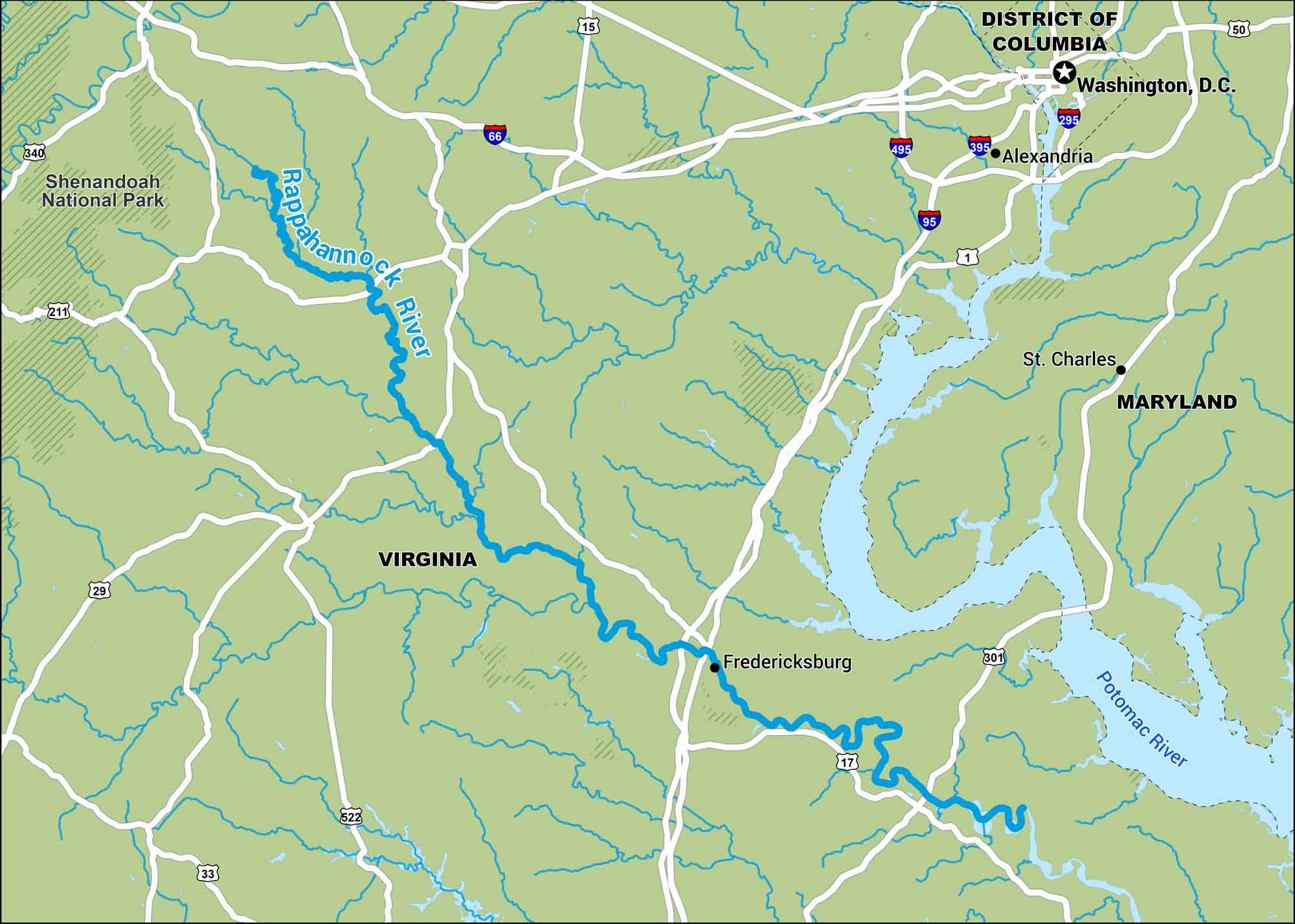
Our map of the Rappahannock River runs from the Blue Ridge and eventually to the Chesapeake Bay. It flows past farmland and old Virginia towns.
Map Information
On the Map
Interstates: I-66, I-95, I-295, I-395, I-495 Major Highways: US Hwy 1, US Hwy 15, US Hwy 17, US Hwy 29, US Hwy 33, US Hwy 50, US Hwy 211, US Hwy 301, US Hwy 340, US Hwy 522 Major Rivers: Rappahannock River, Potomac River National Parks: Shenandoah National Park States: Virginia, Maryland, District of Columbia Cities/Towns: Fredericksburg, Alexandria, Washington, D.C., St. Charles
US Maps
Lakes and Rivers Map
Our map of America’s lakes and rivers shows the major waterways that define the country’s landscape.
Waterway Maps
Explore America’s waterways.


