Pere Marquette River Map
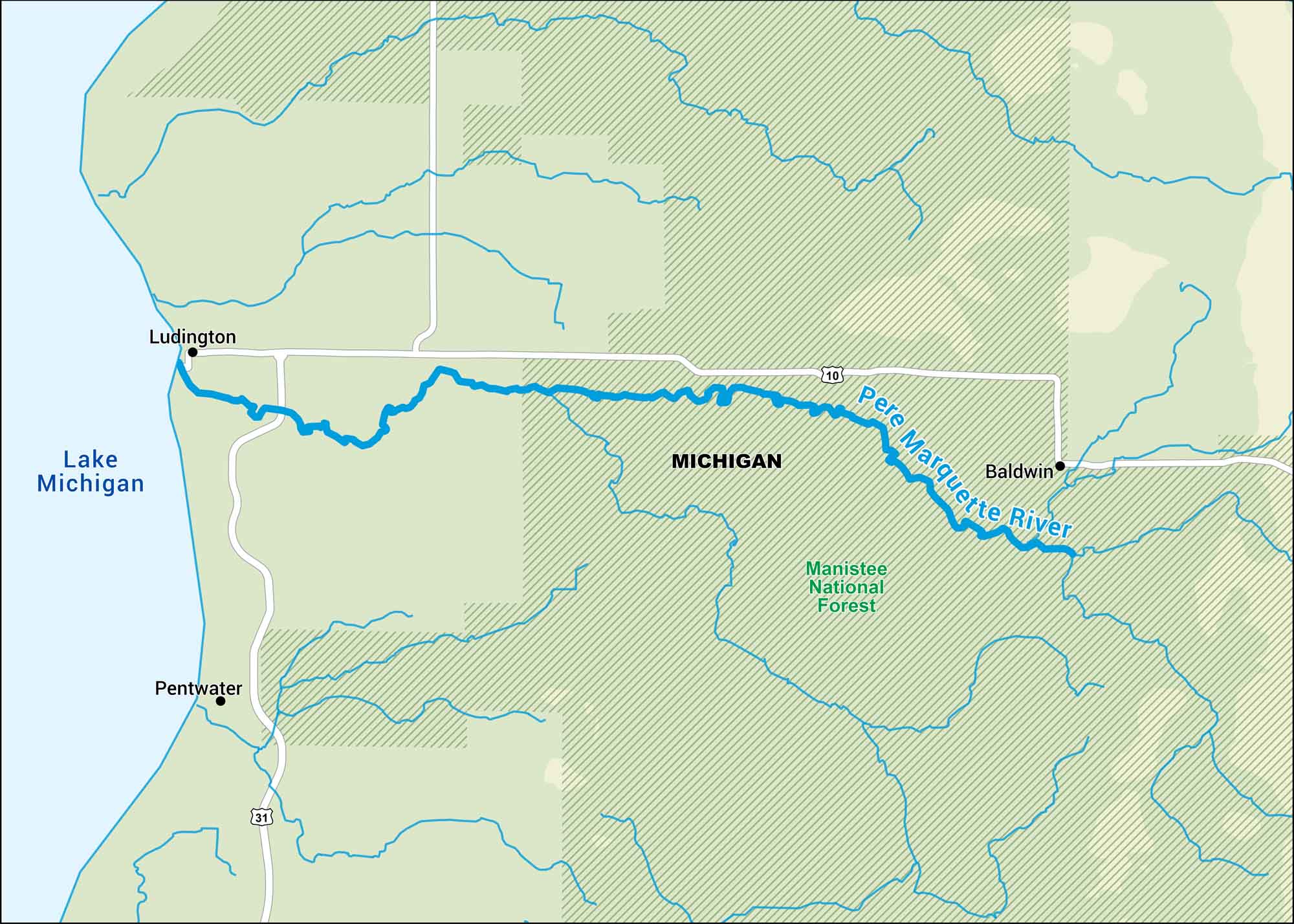
Our map of the Pere Marquette River shows its winding route through western Michigan. Eventually, it meets Lake Michigan near Ludington. It’s a clear, cold river known for trout fishing.
Map Information
On the Map
Major Highways: US Hwy 10, US Hwy 31 Rivers/Lakes: Pere Marquette River, Lake Michigan National Forests: Manistee National Forest States: Michigan Cities/Towns: Ludington, Baldwin, Pentwater
US Maps
Lakes and Rivers Map
Our map of America’s lakes and rivers shows the major waterways that define the country’s landscape.
Waterway Maps
Explore America’s waterways.


