Penobscot River Map
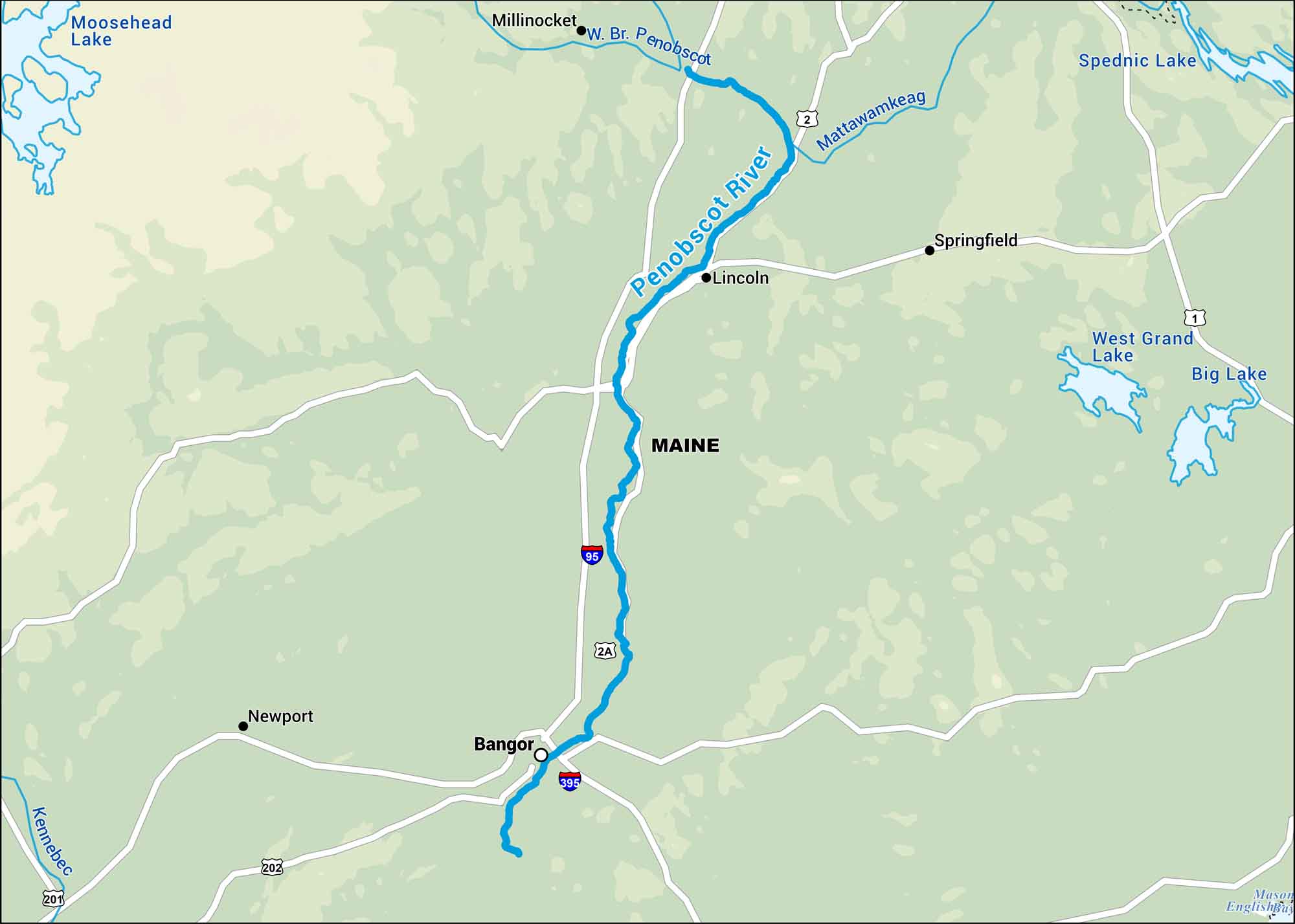
This map follows the Penobscot River through central Maine from the North Woods down to Penobscot Bay. It’s one of New England’s great waterways, cutting through pine country.
Map Information
On the Map
Interstates: I-95, I-395 Major Highways: US Hwy 2, US Hwy 1, US Hwy 202, US Hwy 201, State Rte 2A Rivers/Lakes: Penobscot River, West Branch Penobscot River, Moosehead Lake, West Grand Lake, Big Lake, Spednic Lake, Mattawamkeag River, Kennebec River, English Bay States: Maine Cities/Towns: Bangor, Lincoln, Millinocket, Springfield, Newport
US Maps
Lakes and Rivers Map
Our map of America’s lakes and rivers shows the major waterways that define the country’s landscape.
Waterway Maps
Explore America’s waterways.


