Peace River Map
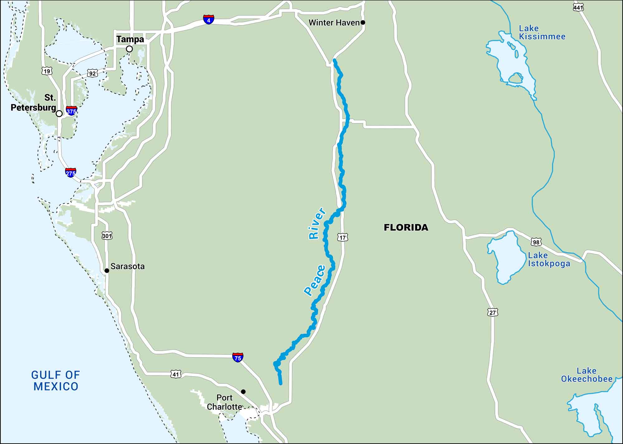
The Peace River flows through southwest Florida through farmland and swampland. Our map highlights its bends all the way to the coast of Port Charlotte.
Map Information
On the Map
Interstates: I-4, I-275, I-375, I-75 Major Highways: US Hwy 19, US Hwy 92, US Hwy 301, US Hwy 41, US Hwy 17, US Hwy 27, US Hwy 98, US Hwy 441 Rivers/Lakes: Peace River, Lake Kissimmee, Lake Istokpoga, Lake Okeechobee States: Florida Cities/Towns: Tampa, St. Petersburg, Winter Haven, Sarasota, Port Charlotte
US Maps
Lakes and Rivers Map
Our map of America’s lakes and rivers shows the major waterways that define the country’s landscape.
Waterway Maps
Explore America’s waterways.


