Muskegon River Map
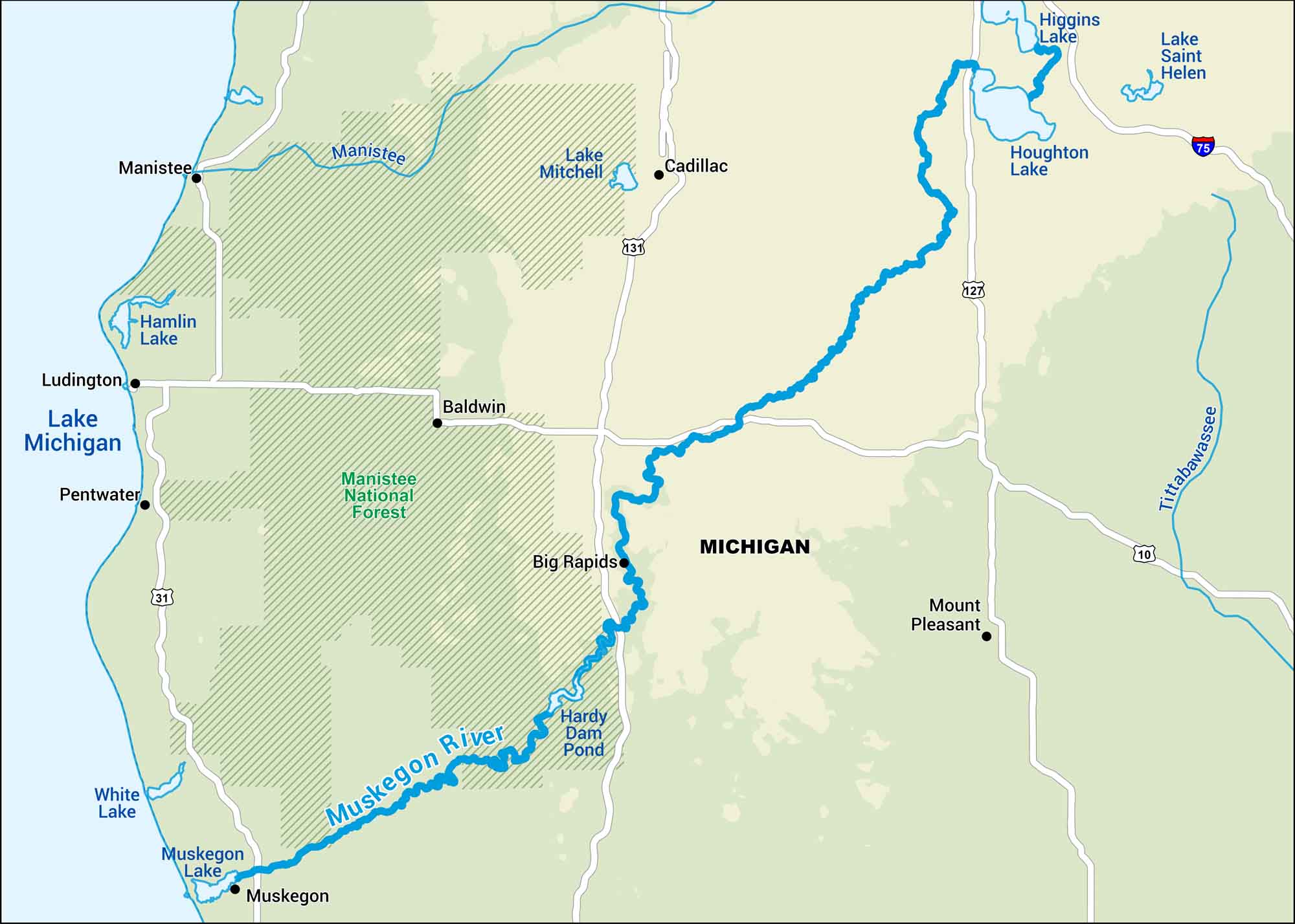
The Muskegon River winds through central Michigan, flowing from Houghton Lake to Lake Michigan. It’s one of those rivers that still feels quiet and lived-in. See it on our map above.
Map Information
On the Map
Interstates: I-75 Major Highways: US Hwy 131, US Hwy 127, US Hwy 10, US Hwy 31 Rivers/Lakes: Muskegon River, Lake Michigan, Houghton Lake, Higgins Lake, Lake Saint Helen, Lake Mitchell, Hamlin Lake, Pentwater Lake, White Lake, Muskegon Lake, Hardy Dam Pond, Tittabawassee River, Manistee River States: Michigan Cities/Towns: Muskegon, Big Rapids, Baldwin, Cadillac, Mount Pleasant, Ludington, Manistee National Forests and Parks: Manistee National Forest
US Maps
Lakes and Rivers Map
Our map of America’s lakes and rivers shows the major waterways that define the country’s landscape.
Waterway Maps
Explore America’s waterways.


