Maumee River Map
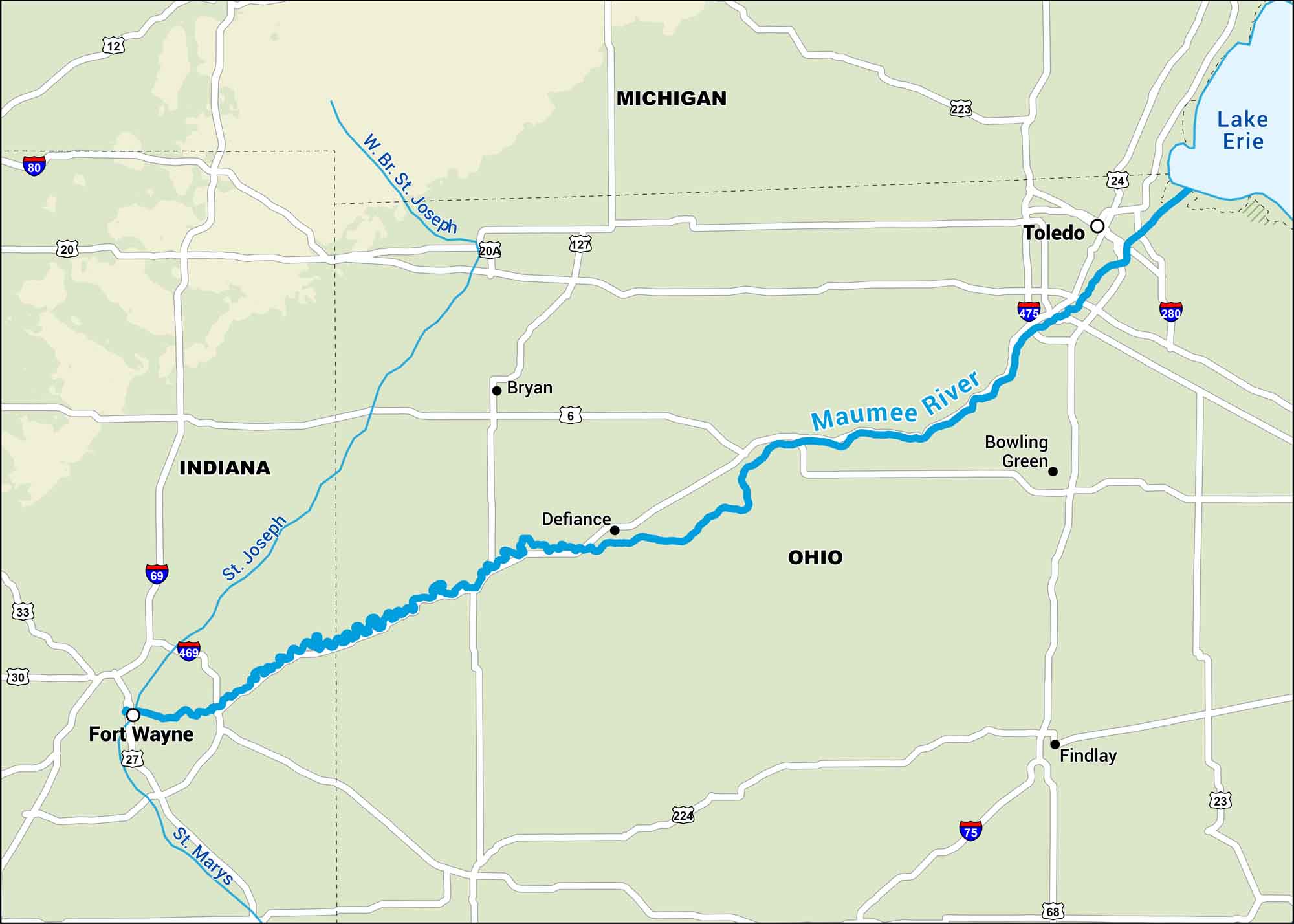
The Maumee River runs from Fort Wayne to Toledo, cutting through mostly flat farmland. Our map lays out the highways and parks that follow its path all the way to Lake Erie.
Map Information
On the Map
Interstates: I-68, I-69, I-75, I-80, I-280, I-469, I-475 Major Highways: US Hwy 6, US Hwy 20, US Hwy 20A, US Hwy 23, US Hwy 24, US Hwy 27, US Hwy 30, US Hwy 33, US Hwy 127, US Hwy 223, US Hwy 224, State Rte 12 Rivers/Lakes/Bays/Reservoirs/Oceans: Maumee River, St Joseph River, St Marys River, W Br St Joseph River, Lake Erie States: Indiana, Michigan, Ohio Cities/Towns: Fort Wayne, Toledo, Bowling Green, Bryan, Defiance, Findlay
US Maps
Lakes and Rivers Map
Our map of America’s lakes and rivers shows the major waterways that define the country’s landscape.
Waterway Maps
Explore America’s waterways.


