Klamath River Map
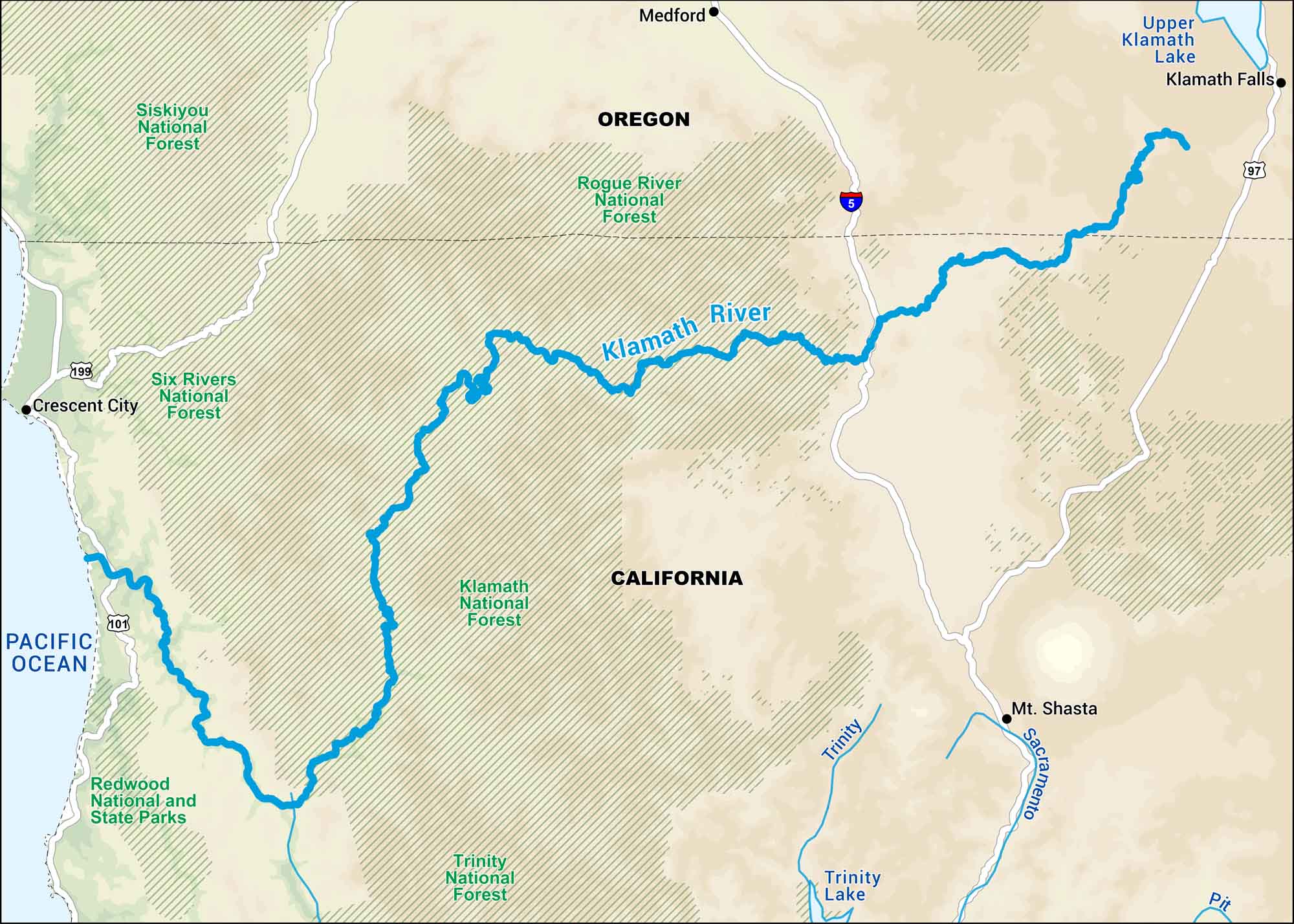
The Klamath starts in southern Oregon and winds through northern California before meeting the Pacific. On our map, you can follow its long bends through forest and farmland.
Map Information
On the Map
Interstates: I-5 Major Highways: US Hwy 97, US Hwy 101, US Hwy 199 Rivers/Lakes: Klamath River, Pit River, Rogue River, Sacramento River, Trinity River, Trinity Lake, Upper Klamath Lake, Pacific Ocean National Parks and Forests: Redwood National and State Parks, Klamath National Forest, Rogue River National Forest, Siskiyou National Forest, Six Rivers National Forest, Trinity National Forest States: California, Oregon Cities/Towns: Crescent City, Klamath Falls, Medford, Mt Shasta
US Maps
Lakes and Rivers Map
Our map of America’s lakes and rivers shows the major waterways that define the country’s landscape.
Waterway Maps
Explore America’s waterways.


