Kings River Map
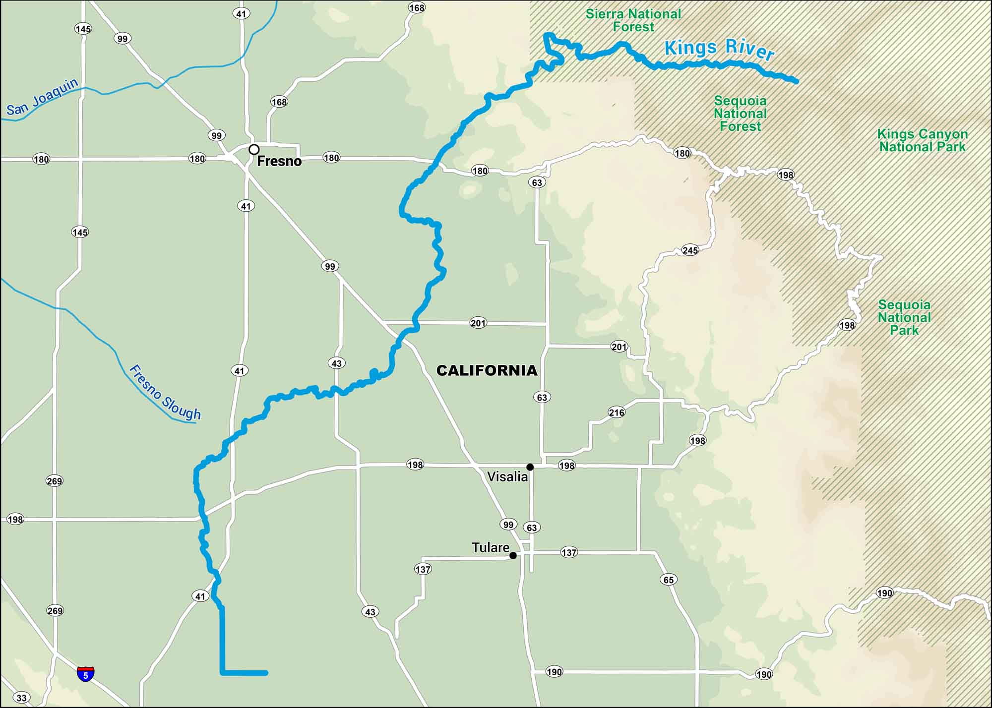
Fed by snowmelt from the Sierra, the Kings River flows through deep gorges before flattening out into California farmland. Our map displays that shift from mountains to valley, showing how it connects two very different worlds.
Map Information
On the Map
Interstates: I-5 Major Highways: State Rte 33, State Rte 41, State Rte 43, State Rte 63, State Rte 65, State Rte 99, State Rte 137, State Rte 145, State Rte 168, State Rte 180, State Rte 190, State Rte 198, State Rte 201, State Rte 216, State Rte 245, State Rte 269 Major Rivers: Kings River, Fresno Slough River, San Joaquin River National Parks and Forests: Kings Canyon National Park, Sequoia National Park, Sequoia National Forest, Sierra National Forest States: California Cities/Towns: Fresno, Tulare, Visalia
US Maps
Lakes and Rivers Map
Our map of America’s lakes and rivers shows the major waterways that define the country’s landscape.
Waterway Maps
Explore America’s waterways.


