Kennebec River Map
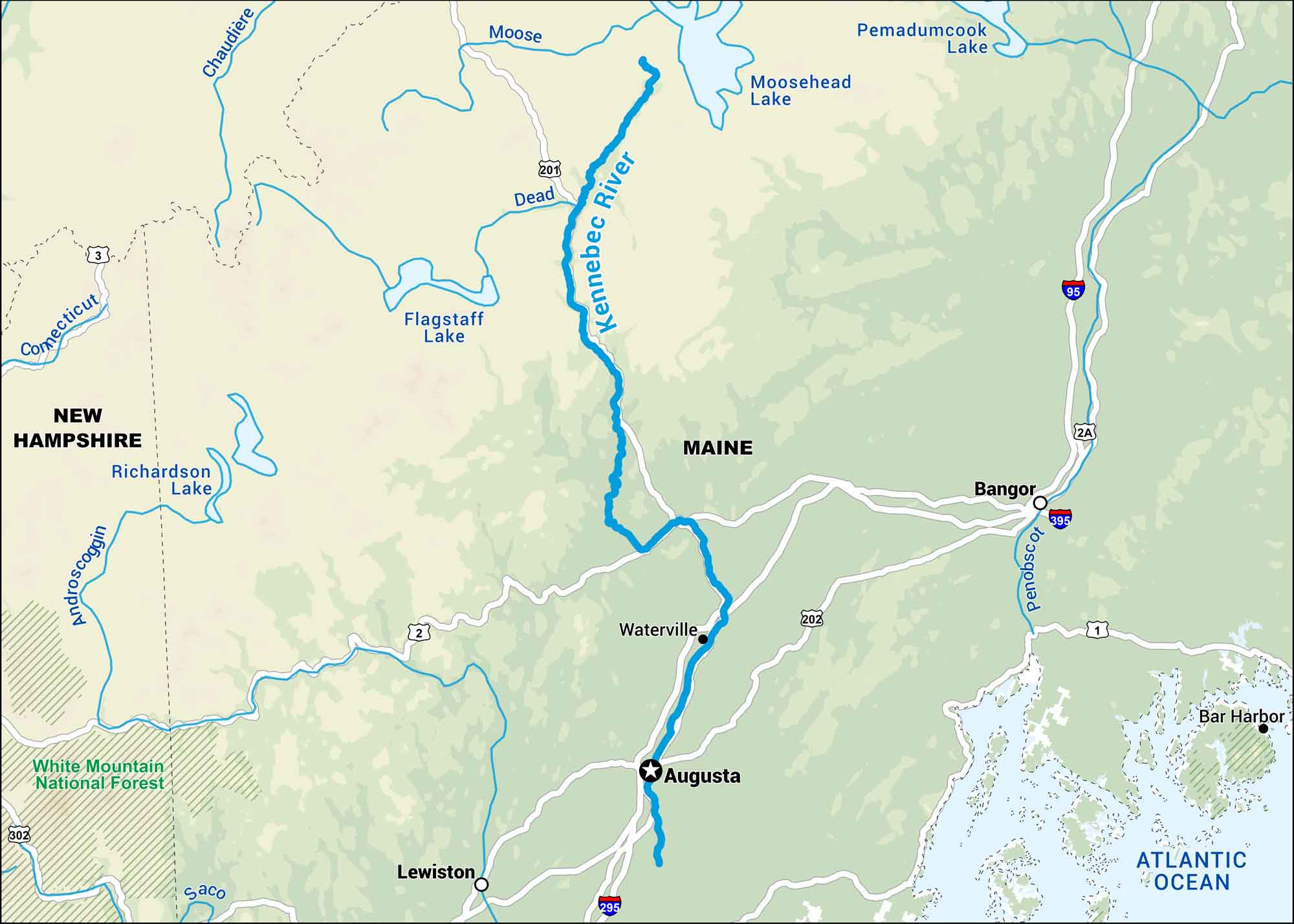
The Kennebec cuts straight through the heart of Maine, running from Moosehead Lake down through Augusta. Our map shows towns, forest and roads in the state’s most classic scenery.
Map Information
On the Map
Interstates: I-95, I-295, I-395 Major Highways: US Hwy 1, US Hwy 2, US Hwy 3, US Hwy 201, US Hwy 202, State Rte 2A Rivers/Reservoirs: Kennebec River, Androscoggin River, Chaudière River, Connecticut River, Dead River, Moose River, Penobscot River, Saco River, Flagstaff Lake, Moosehead Lake, Pemadumcook Lake, Richardson Lake, Atlantic Ocean National Forests: White Mountain National Forest States: Maine, New Hampshire Cities/Towns: Augusta, Bangor, Bar Harbor, Lewiston, Waterville
US Maps
Lakes and Rivers Map
Our map of America’s lakes and rivers shows the major waterways that define the country’s landscape.
Waterway Maps
Explore America’s waterways.


