Iowa River Map
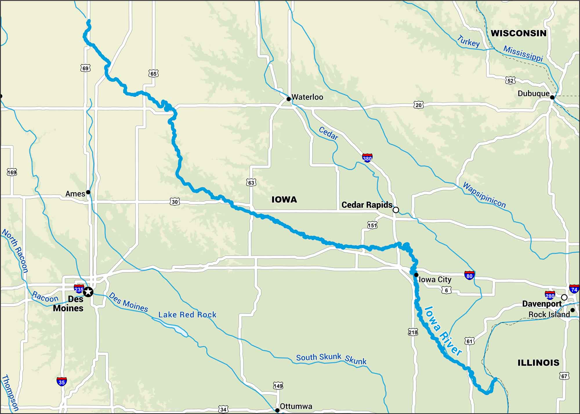
The Iowa River runs straight through the center of the state, passing Iowa City on its way to the Mississippi. Our map shows its winding course and the roads that follow it through farm country.
Map Information
On the Map
Interstates: I-35, I-74, I-80, I-235, I-280, I-380 Major Highways: US Hwy 6, US Hwy 18, US Hwy 20, US Hwy 30, US Hwy 34, US Hwy 52, US Hwy 61, US Hwy 63, US Hwy 65, US Hwy 67, US Hwy 69, US Hwy 149, US Hwy 151, US Hwy 169, US Hwy 218 Major Rivers: Iowa River, Cedar River, Des Moines River, Mississippi River, North Raccoon River, Raccoon River, Skunk River, South Skunk River, Thompson River, Turkey River, Wapsipinicon River, Lake Red Rock States: Illinois, Iowa, Wisconsin Cities/Towns: Des Moines, Ames, Cedar Rapids, Davenport, Dubuque, Iowa City, Ottumwa, Rock Island, Waterloo
US Maps
Lakes and Rivers Map
Our map of America’s lakes and rivers shows the major waterways that define the country’s landscape.
Waterway Maps
Explore America’s waterways.


