Illinois River Map
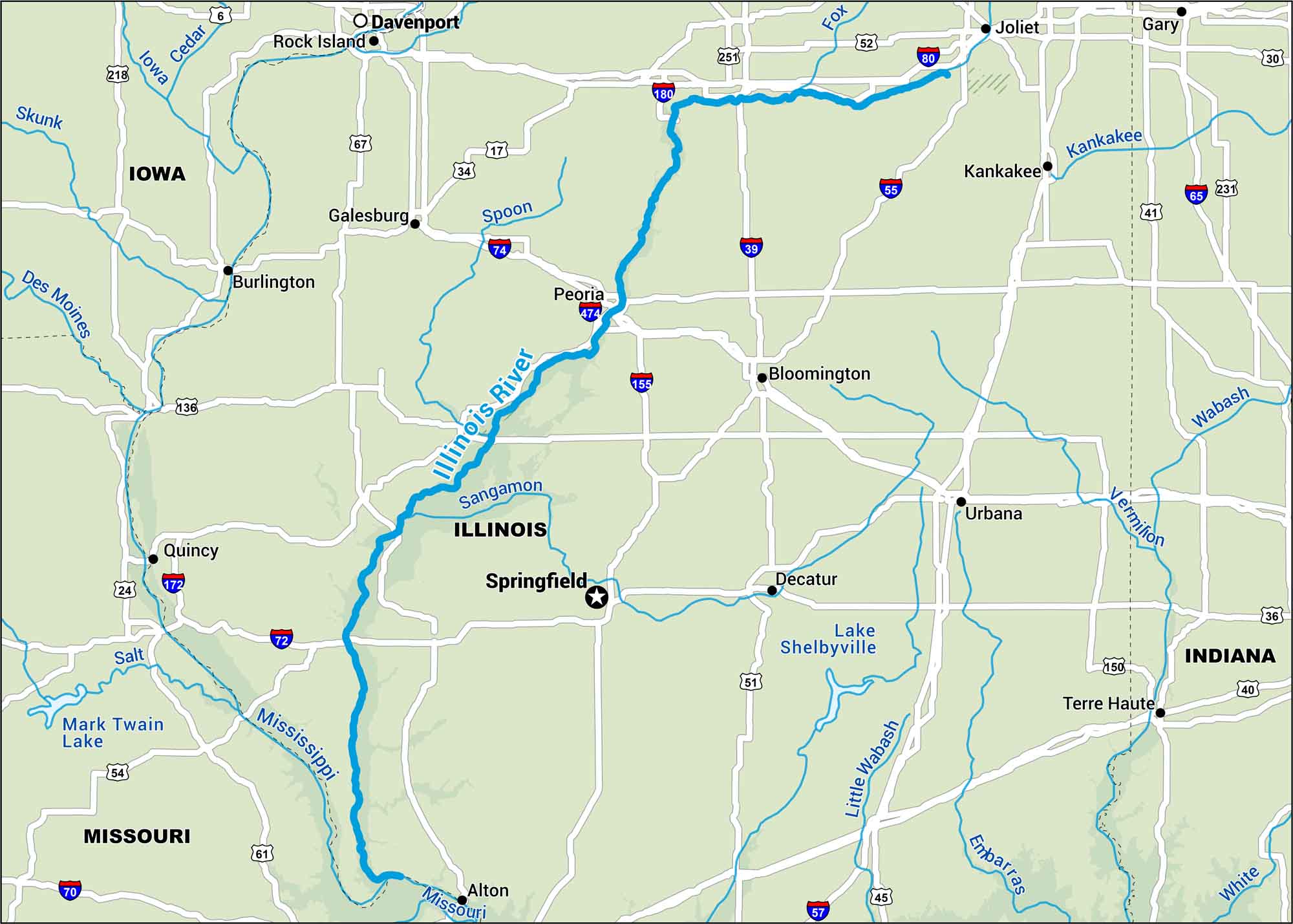
Cutting across the heart of Illinois, the Illinois River connects small towns and wide stretches of farmland. Find its path from the confluence with the Des Plaines all the way to the Mississippi.
Map Information
On the Map
Interstates: I-30, I-39, I-55, I-57, I-65, I-70, I-72, I-74, I-80, I-155, I-172, I-180, I-474 Major Highways: US Hwy 6, US Hwy 17, US Hwy 24, US Hwy 34, US Hwy 36, US Hwy 40, US Hwy 41, US Hwy 45, US Hwy 51, US Hwy 52, US Hwy 54, US Hwy 61, US Hwy 67, US Hwy 136, US Hwy 150, US Hwy 218, US Hwy 231, US Hwy 251 Rivers/Lakes: Illinois River, Cedar River, Des Moines River, Embarras River, Fox River, Iowa River, Kankakee River, Little Wabash River, Mississippi River, Missouri River, Sangamon River, Skunk River, Spoon River, Vermilion River, Wabash River, White River, Lake Shelbyville, Mark Twain Lake States: Illinois, Indiana, Iowa, Missouri Cities/Towns: Springfield, Alton, Bloomington, Burlington, Davenport, Decatur, Galesburg, Gary, Joliet, Kankakee, Peoria, Quincy, Rock Island, Terre Haute, Urbana
US Maps
Lakes and Rivers Map
Our map of America’s lakes and rivers shows the major waterways that define the country’s landscape.
Waterway Maps
Explore America’s waterways.


