Hudson River Map
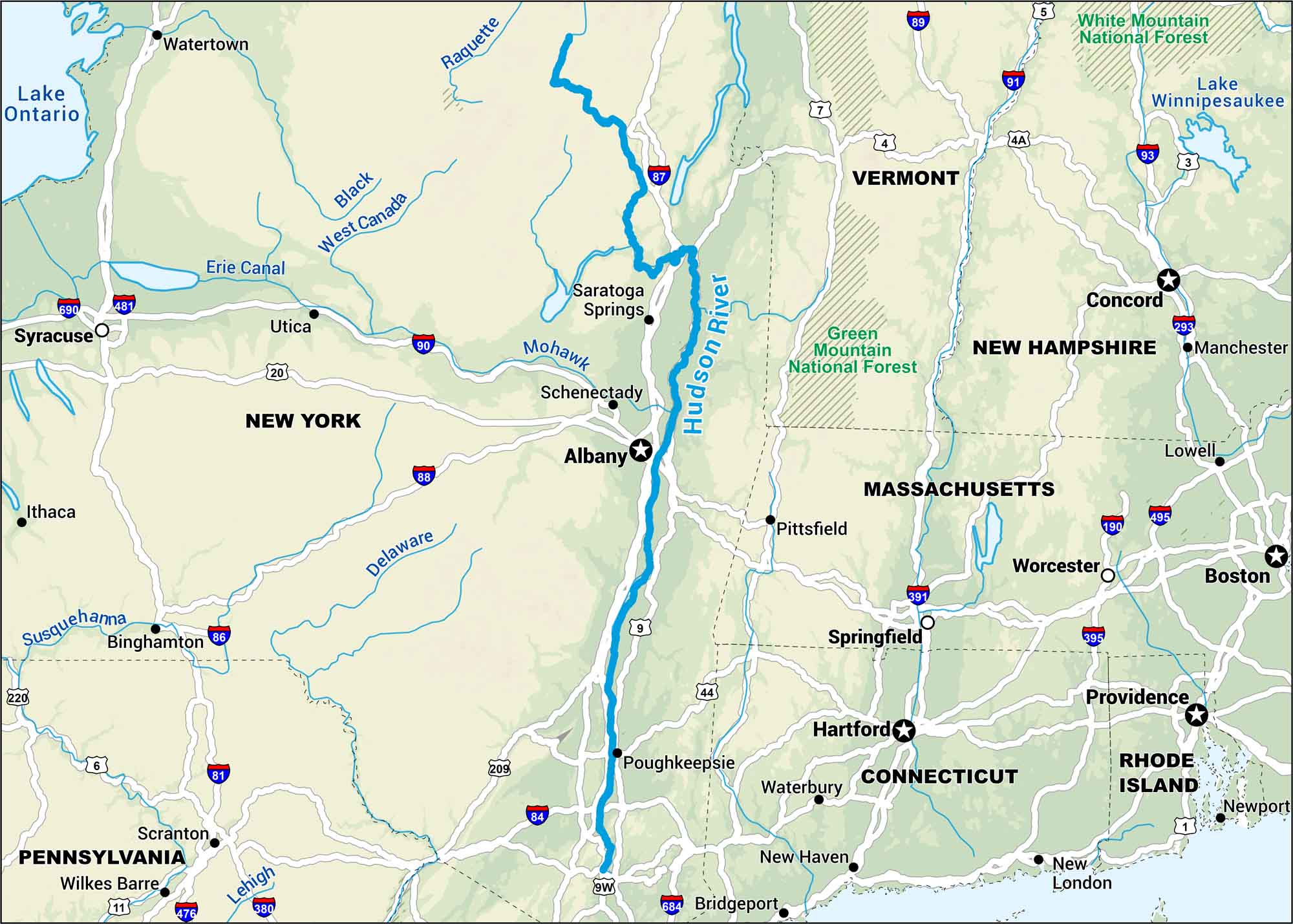
The Hudson flows from the Adirondacks down to Albany and towards the New York Harbor. Our map marks out nearby roads, lakes and rivers.
Map Information
On the Map
Interstates: I-5, I-7, I-81, I-84, I-86, I-87, I-88, I-89, I-90, I-91, I-93, I-95, I-190, I-293, I-380, I-391, I-395, I-476, I-481, I-495, I-684, I-690 Major Highways: US Hwy 1, US Hwy 3, US Hwy 4, US Hwy 6, US Hwy 9, US Hwy 11, US Hwy 20, US Hwy 44, US Hwy 209, US Hwy 220, State Rte 4A, State Rte 9W Rivers/Lakes: Hudson River, Androscoggin River, Black River, Connecticut River, Delaware River, Lehigh River, Mohawk River, Raquette River, Saco River, Susquehanna River, West Canada River, Lake Ontario, Lake Winnipesaukee, Erie Canal, Atlantic Ocean National Forests: Green Mountain National Forest, White Mountain National Forest States: Connecticut, Massachusetts, New Hampshire, New York, Pennsylvania, Rhode Island, Vermont Cities/Towns: Albany, Boston, Hartford, Providence, Binghamton, Bridgeport, Concord, Manchester, New Haven, New London, Poughkeepsie, Saratoga Springs, Schenectady, Scranton, Springfield, Syracuse, Utica, Waterbury, Watertown, Worcester
US Maps
Lakes and Rivers Map
Our map of America’s lakes and rivers shows the major waterways that define the country’s landscape.
Waterway Maps
Explore America’s waterways.


