Grand River Map
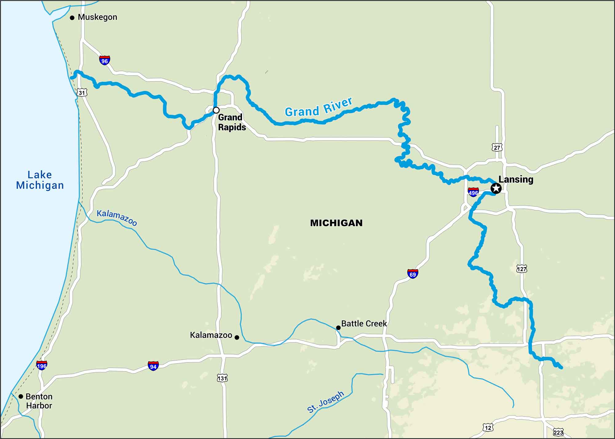
The Grand River runs through southern Michigan, right through Grand Rapids before reaching Lake Michigan. This map outlines this wide river that anchors much of western Michigan.
Map Information
On the Map
Interstates: I-69, I-94, I-96, I-196, I-496 Major Highways: US Hwy 31, US Hwy 127, US Hwy 131, State Rte 12, State Rte 27, State Rte 223 Rivers/Lakes: Grand River, Kalamazoo River, St Joseph River, Lake Michigan States: Michigan Cities/Towns: Lansing, Battle Creek, Benton Harbor, Grand Rapids, Kalamazoo, Muskegon
US Maps
Lakes and Rivers Map
Our map of America’s lakes and rivers shows the major waterways that define the country’s landscape.
Waterway Maps
Explore America’s waterways.


