Gila River Map
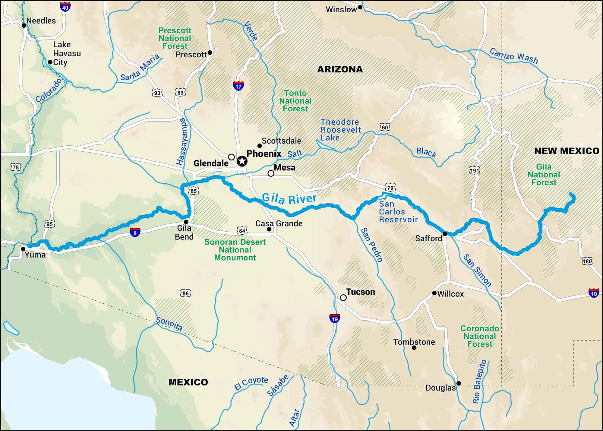
Born in the mountains of New Mexico, the Gila River winds through the Arizona desert before fading toward the west. This map highlights this river which flows in some of the state’s most rugged land.
Map Information
On the Map
Interstates: I-8, I-10, I-17, I-19, I-40 Major Highways: US Hwy 60, US Hwy 70, US Hwy 93, US Hwy 95, US Hwy 180, US Hwy 191, State Rte 78, State Rte 84, State Rte 85, State Rte 86 Rivers/Lakes: Gila River, Altar River, Colorado River, Hassayampa River, Rio Batepito River, Salt River, San Pedro River, San Simon River, Santa Cruz River, Santa Maria River, Sonoita River, Verde River, Lake Havasu, San Carlos Reservoir, Theodore Roosevelt Lake Forests/Monuments: Coronado National Forest, Gila National Forest, Prescott National Forest, Tonto National Forest, Sonoran Desert National Monument States: Arizona, New Mexico Cities/Towns: Phoenix, Tucson, Casa Grande, Douglas, Flagstaff, Gila Bend, Glendale, Lake Havasu City, Mesa, Needles, Prescott, Safford, Scottsdale, Tombstone, Willcox, Winslow, Yuma
US Maps
Lakes and Rivers Map
Our map of America’s lakes and rivers shows the major waterways that define the country’s landscape.
Waterway Maps
Explore America’s waterways.


