Frio River Map
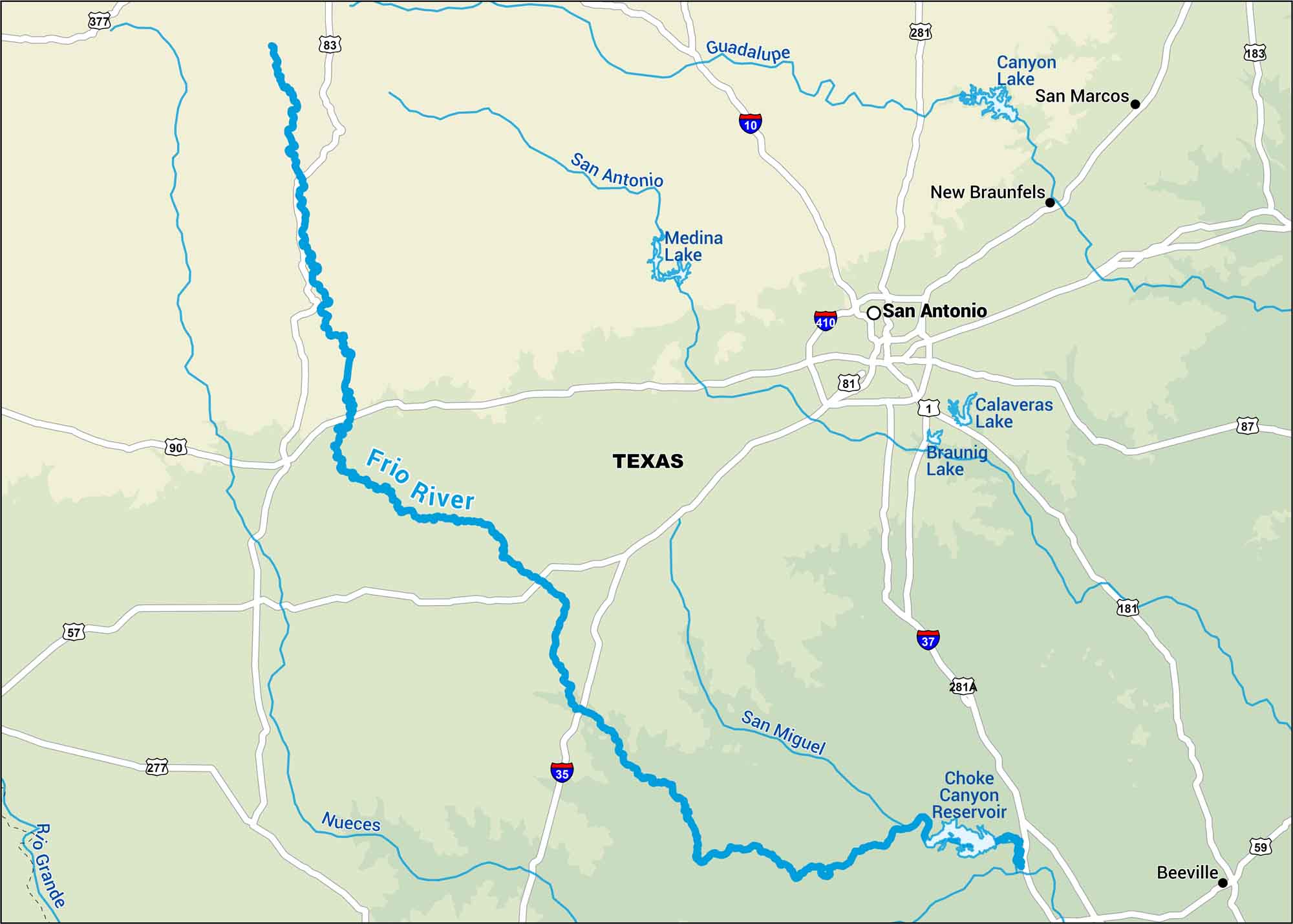
The Frio River is the kind of river where families float all day and end with a fire by the water. It’s cold and clear, located in central Texas. Our map marks nearby highways and rivers in Hill Country.
Map Information
On the Map
Interstates: I-10, I-35, I-37, I-410 Major Highways: US Hwy 1, US Hwy 57, US Hwy 59, US Hwy 81, US Hwy 83, US Hwy 87, US Hwy 90, US Hwy 181, US Hwy 183, US Hwy 277, US Hwy 281, US Hwy 281A, US Hwy 377 Rivers/Reservoirs: Frio River, Nueces River, Rio Grande, San Antonio River, Guadalupe River, San Miguel River, Choke Canyon Reservoir, Medina Lake, Canyon Lake, Calaveras Lake, Braunig Lake States: Texas Cities/Towns: San Antonio, San Marcos, New Braunfels, Beeville
US Maps
Lakes and Rivers Map
Our map of America’s lakes and rivers shows the major waterways that define the country’s landscape.
Waterway Maps
Explore America’s waterways.


