Fox River Map
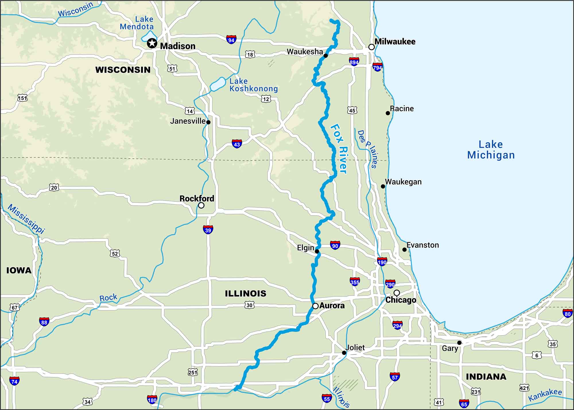
The Fox River runs through Wisconsin and Illinois, tying together towns like Elgin and Aurora. This map shows its slow bends close to Lake Michigan.
Map Information
On the Map
Interstates: I-35, I-39, I-41, I-43, I-55, I-57, I-65, I-80, I-88, I-90, I-94, I-180, I-190, I-290, I-294, I-355, I-794, I-894 Major Highways: US Hwy 6, US Hwy 12, US Hwy 14, US Hwy 18, US Hwy 20, US Hwy 30, US Hwy 34, US Hwy 35, US Hwy 45, US Hwy 51, US Hwy 52, US Hwy 67, US Hwy 151, US Hwy 231, US Hwy 251, US Hwy 421 Rivers/Lakes: Fox River, Mississippi River, Rock River, Des Plaines River, Illinois River, Kankakee River, Lake Michigan, Lake Mendota, Lake Koshkonong States: Illinois, Wisconsin, Indiana, Iowa Cities/Towns: Chicago, Milwaukee, Madison, Rockford, Aurora, Elgin, Joliet, Gary, Janesville, Waukesha, Waukegan, Racine, Evanston
US Maps
Lakes and Rivers Map
Our map of America’s lakes and rivers shows the major waterways that define the country’s landscape.
Waterway Maps
Explore America’s waterways.


