Feather River Map
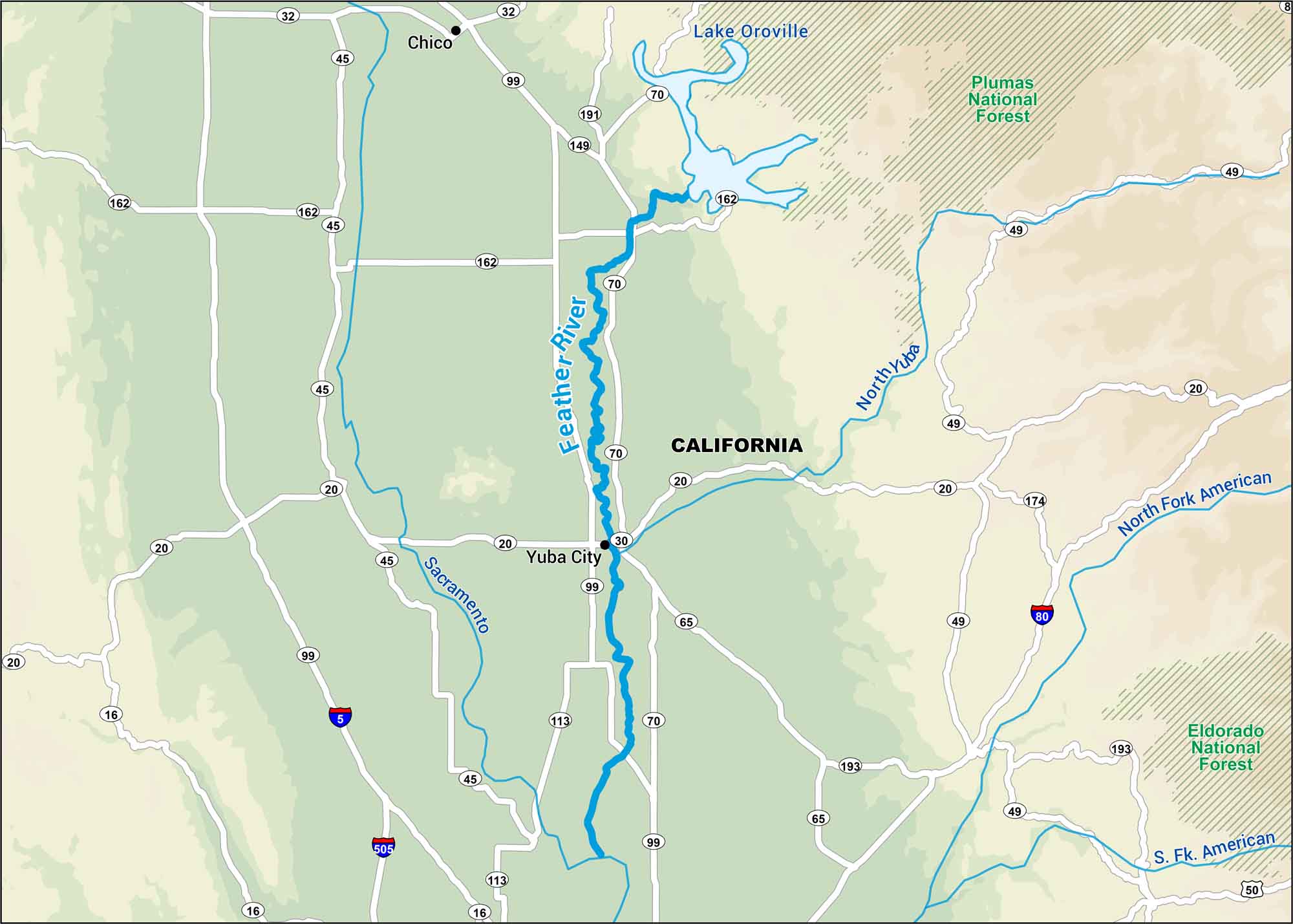
The Feather River flows out of the Sierra Nevada, feeding California’s Central Valley. This map shows its path through mountain canyons, reservoirs, and farmland below Lake Oroville.
Map Information
On the Map
Interstates: I-5, I-80, I-505 Major Highways: State Rte 16, State Rte 20, State Rte 30, State Rte 32, State Rte 45, State Rte 49, State Rte 50, State Rte 65, State Rte 70, State Rte 99, State Rte 113, State Rte 149, State Rte 162, State Rte 174, State Rte 191, State Rte 193 Rivers/Lakes: Feather River, Sacramento River, North Yuba River, North Fork American River, S Fk American River, Lake Oroville Parks/Forests: Plumas National Forest, Eldorado National Forest States: California Cities/Towns: Chico, Yuba City
US Maps
Lakes and Rivers Map
Our map of America’s lakes and rivers shows the major waterways that define the country’s landscape.
Waterway Maps
Explore America’s waterways.


