Edisto River Map
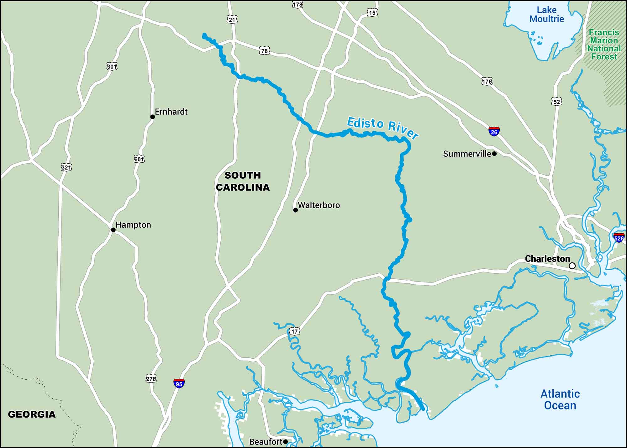
The Edisto River flows through South Carolina’s Lowcountry. You’ll see nearby highways and winding backwaters on this map. It’s a true southern river because it’s slow, muddy, and full of life.
Map Information
On the Map
Interstates: I-26, I-95, I-526 Major Highways: US Hwy 15, US Hwy 17, US Hwy 21, US Hwy 52, US Hwy 78, US Hwy 176, US Hwy 178, US Hwy 278, US Hwy 301, US Hwy 321, US Hwy 601 Rivers/Lakes/Bays/Reservoirs/Oceans: Edisto River, Atlantic Ocean, Lake Moultrie Parks/Forests: Francis Marion National Forest States: South Carolina, Georgia Cities/Towns: Charleston, Summerville, Walterboro, Beaufort, Hampton, Ernhardt
US Maps
Lakes and Rivers Map
Our map of America’s lakes and rivers shows the major waterways that define the country’s landscape.
Waterway Maps
Explore America’s waterways.


