Cape Fear River Map
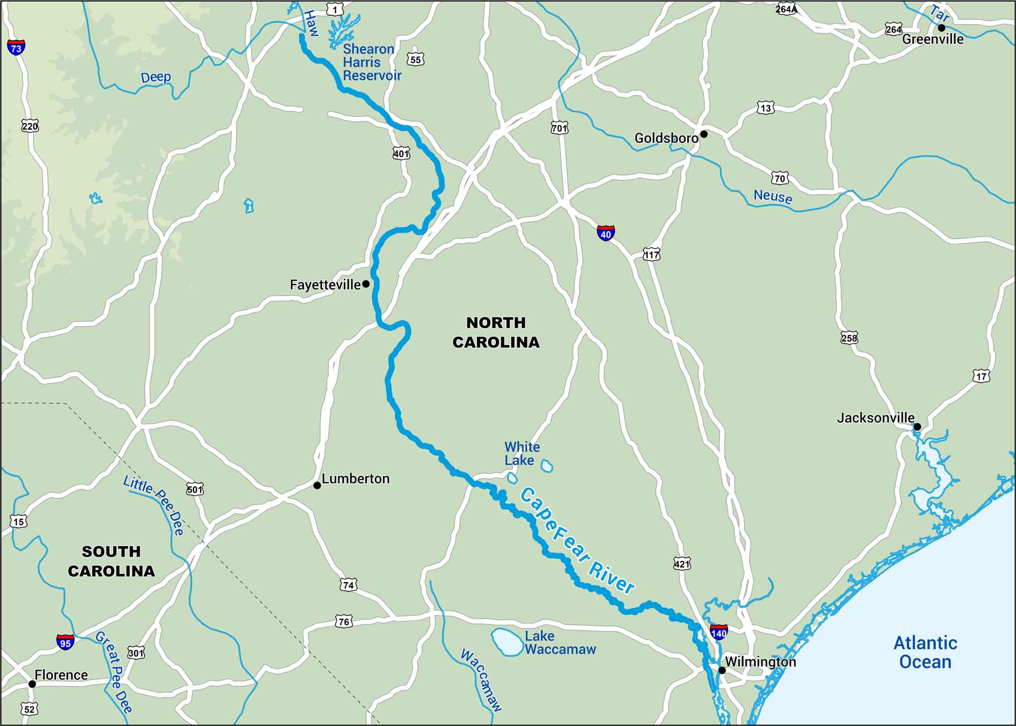
Have no fear. Because our map of the Cape Fear River is here. Start inland and follow the Cape Fear east until the salt hits the air. Yep, it’s quiet backwaters all the way to Wilmington.
Map Information
On the Map
Interstates: I-15, I-40, I-73, I-95, I-140Major Highways: US Hwy 421, US Hwy 701, US Hwy 501, US Hwy 220, US Hwy 258, US Hwy 1, US Hwy 13, US Hwy 17, US Hwy 74, US Hwy 76, US Hwy 301, State Rte 55, State Rte 117, State Rte 264, State Rte 264A, State Rte 70
Rivers/Lakes: Cape Fear River, Atlantic Ocean, Shearon Harris Reservoir, White Lake, Lake Waccamaw, Haw, Deep, Neuse, Tar, Waccamaw, Little Pee Dee, Great Pee Dee Cities/Towns: Fayetteville, Wilmington, Lumberton, Goldsboro, Greenville, Jacksonville, Florence
US Maps
Lakes and Rivers Map
Our map of America’s lakes and rivers shows the major waterways that define the country’s landscape.
Waterway Maps
Explore America’s waterways.


