Canadian River Map
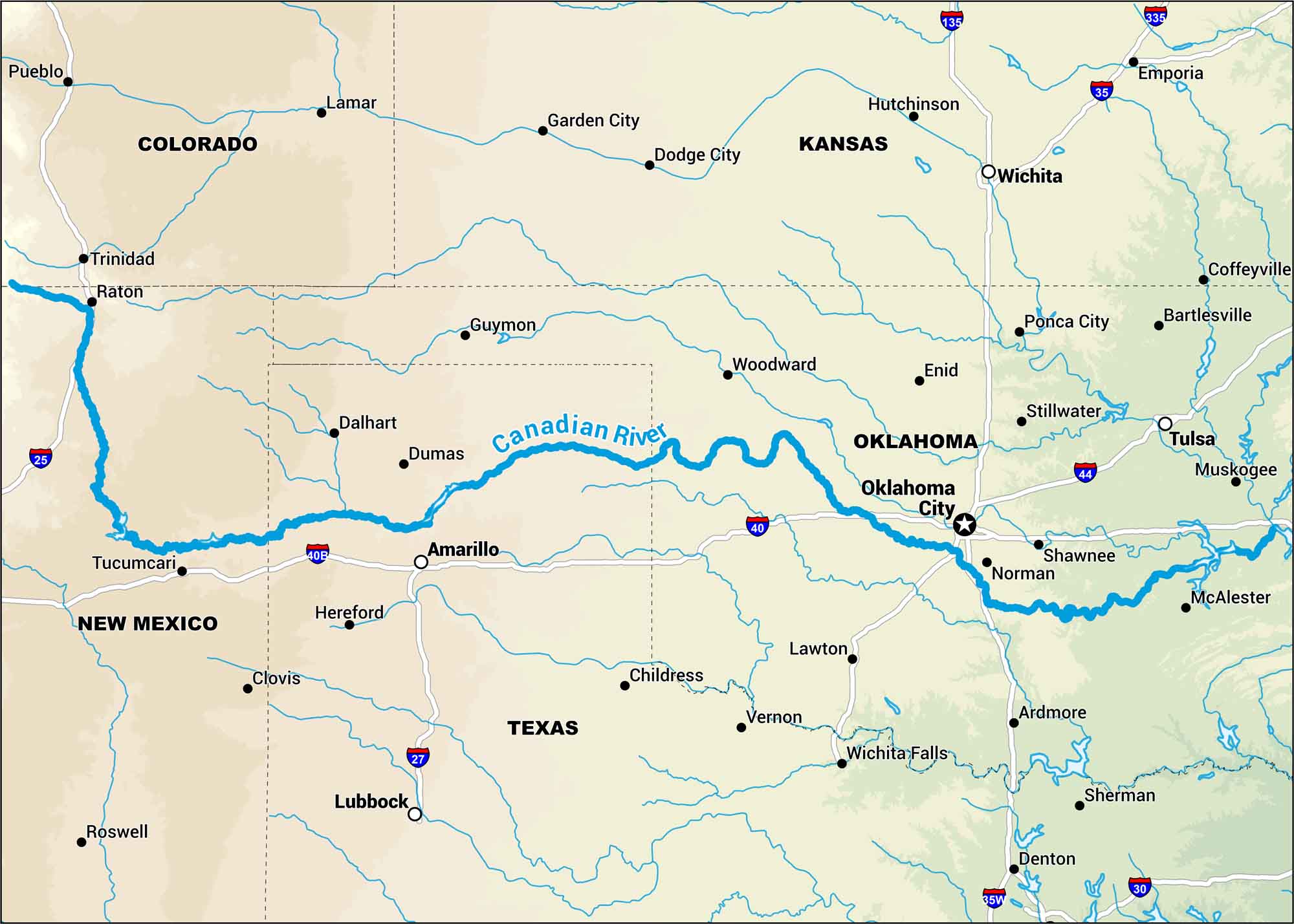
Don’t look north to Canada for the Canadian River. This one spans New Mexico. Texas. And Oklahoma. Our map gets you familiar as it flows across the plains. Few towns, fewer trees. Just that long river of the Southwest.
Map Information
On the Map
Interstates/Highways: I-25, I-27, I-30, I-35, I-35W, I-40, I-44, I-135, I-335 Rivers: Canadian River Cities/Towns: Pueblo, Lamar, Trinidad, Raton, Tucumcari, Clovis, Roswell, Dalhart, Dumas, Amarillo, Hereford, Lubbock, Guymon, Garden City, Dodge City, Woodward, Childress, Vernon, Wichita Falls, Enid, Oklahoma City, Norman, Lawton, Ardmore, Wichita, Hutchinson, Ponca City, Stillwater, Shawnee, Tulsa, Muskogee, McAlester, Emporia, Coffeyville, Bartlesville, Sherman, Denton
US Maps
Lakes and Rivers Map
Our map of America’s lakes and rivers shows the major waterways that define the country’s landscape.
Waterway Maps
Explore America’s waterways.


