Brule River Map
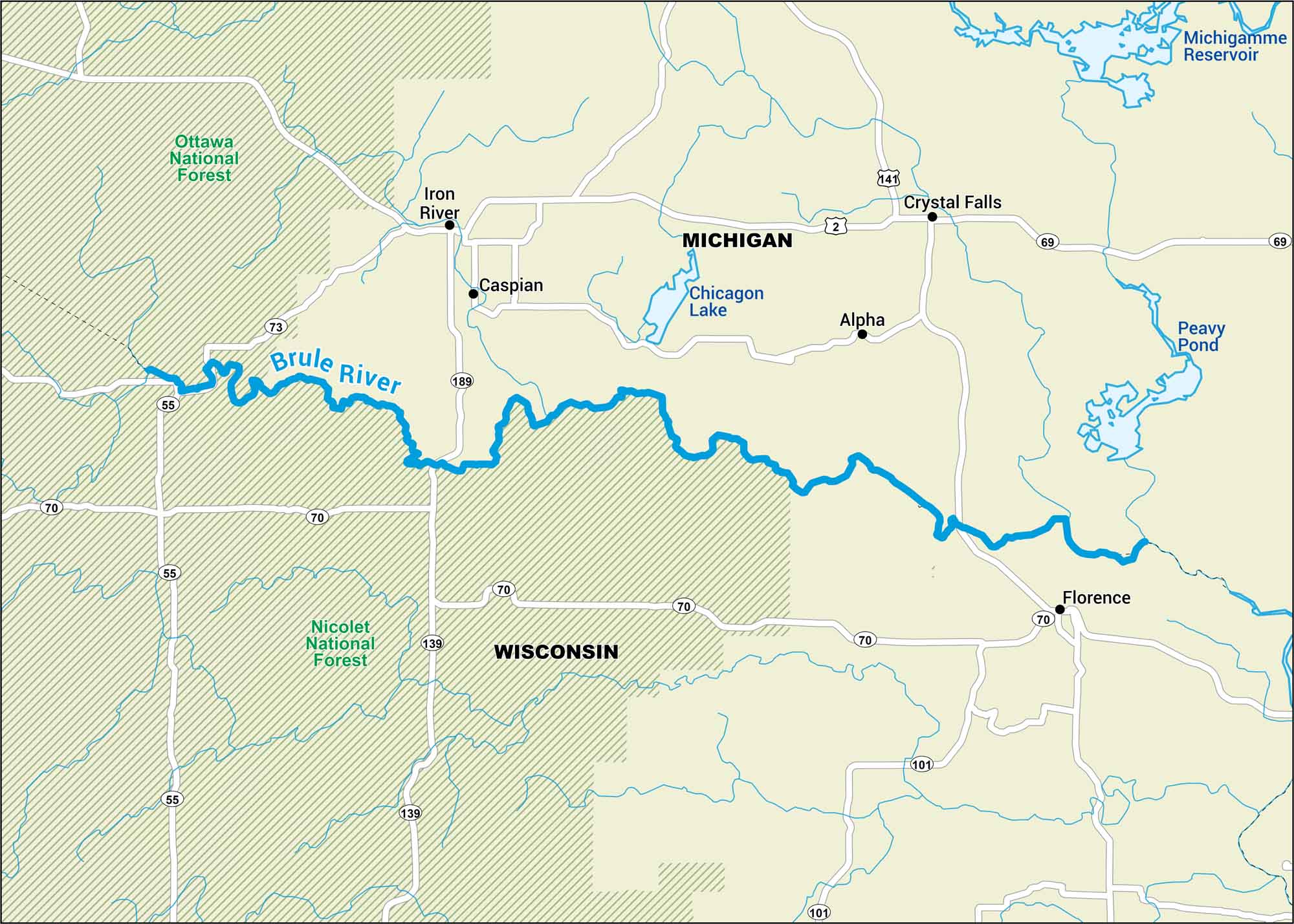
Paddle the Brule. It’s cold, fast, and covered by pine and birch. This map points out nearby highways, rivers and national forests.
Map Information
On the Map
Major Roads: US Hwy 2, US Hwy 141, State Rte 70, State Rte 73, State Rte 55, State Rte 189, State Rte 139, State Rte 101, State Rte 69 Rivers/Lakes: Brule River, Iron River, Chicagon Lake, Peavy Pond, Michigamme Reservoir Parks and Forests: Ottawa National Forest, Nicolet National Forest Cities/Towns: Iron River, Caspian, Alpha, Crystal Falls, Florence
US Maps
Lakes and Rivers Map
Our map of America’s lakes and rivers shows the major waterways that define the country’s landscape.
Waterway Maps
Explore America’s waterways.


