Black River Map
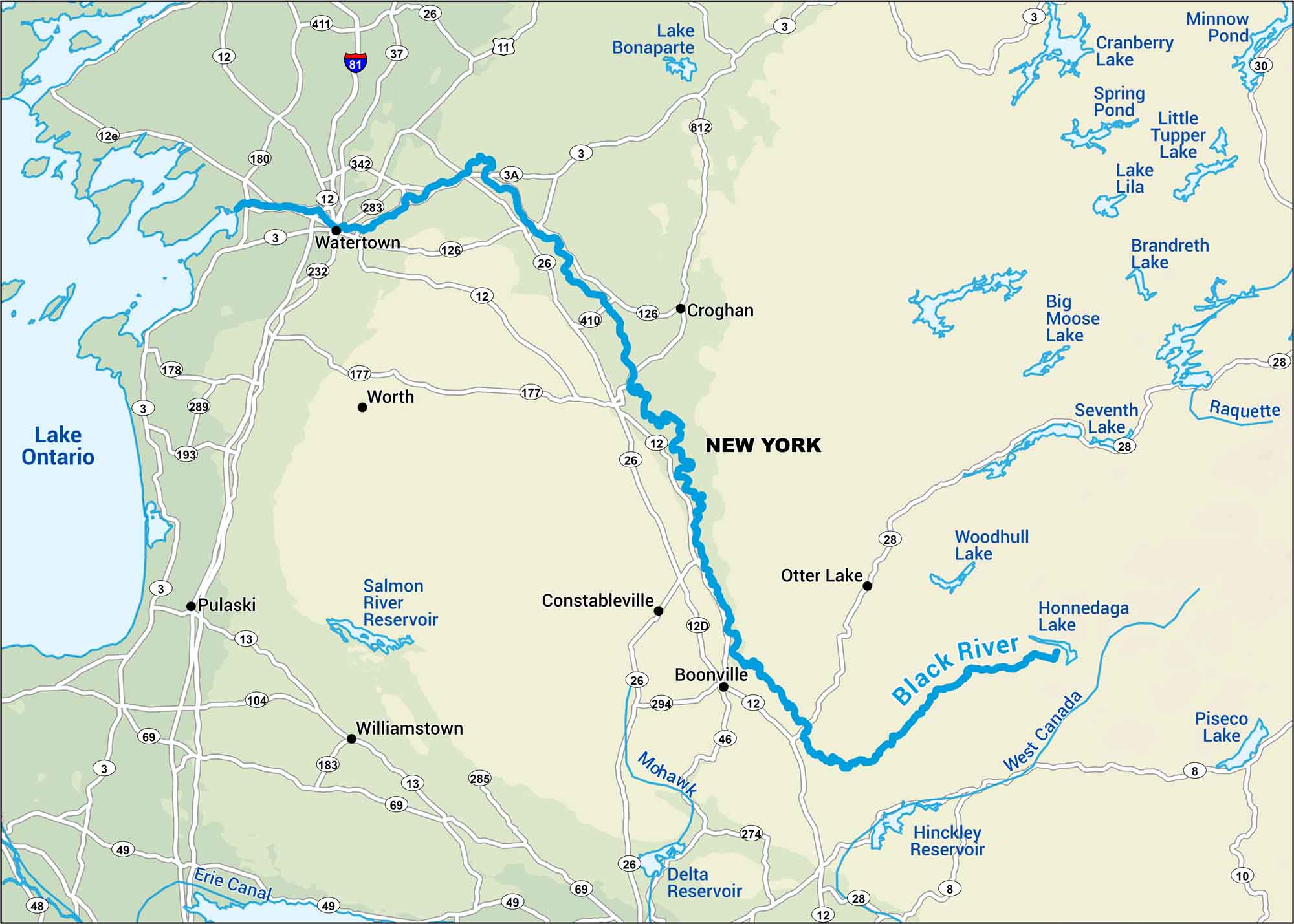
Wade in. The Black River drifts through woods and farmland, quiet and slow. You’ll find on our map highways and small towns that sit close to the river.
Map Information
On the Map
Interstates: I-81 Major Highways: US Hwy 11, State Rte 3, State Rte 12, State Rte 26, State Rte 28, State Rte 8, State Rte 13, State Rte 69, State Rte 49, State Rte 812, State Rte 411, State Rte 37, State Rte 342, State Rte 283, State Rte 126, State Rte 232, State Rte 177, State Rte 410, State Rte 12D, State Rte 294 Rivers/Lakes: Black River, Lake Ontario, Lake Bonaparte, Cranberry Lake, Lake Lila, Little Tupper Lake, Brandreth Lake, Big Moose Lake, Raquette, Seventh Lake, Woodhull Lake, Honnedaga Lake, West Canada, Hinckley Reservoir, Delta Reservoir, Salmon River Reservoir, Erie Canal Cities/Towns: Watertown, Worth, Croghan, Constableville, Boonville, Pulaski, Williamstown
US Maps
Lakes and Rivers Map
Our map of America’s lakes and rivers shows the major waterways that define the country’s landscape.
Waterway Maps
Explore America’s waterways.


