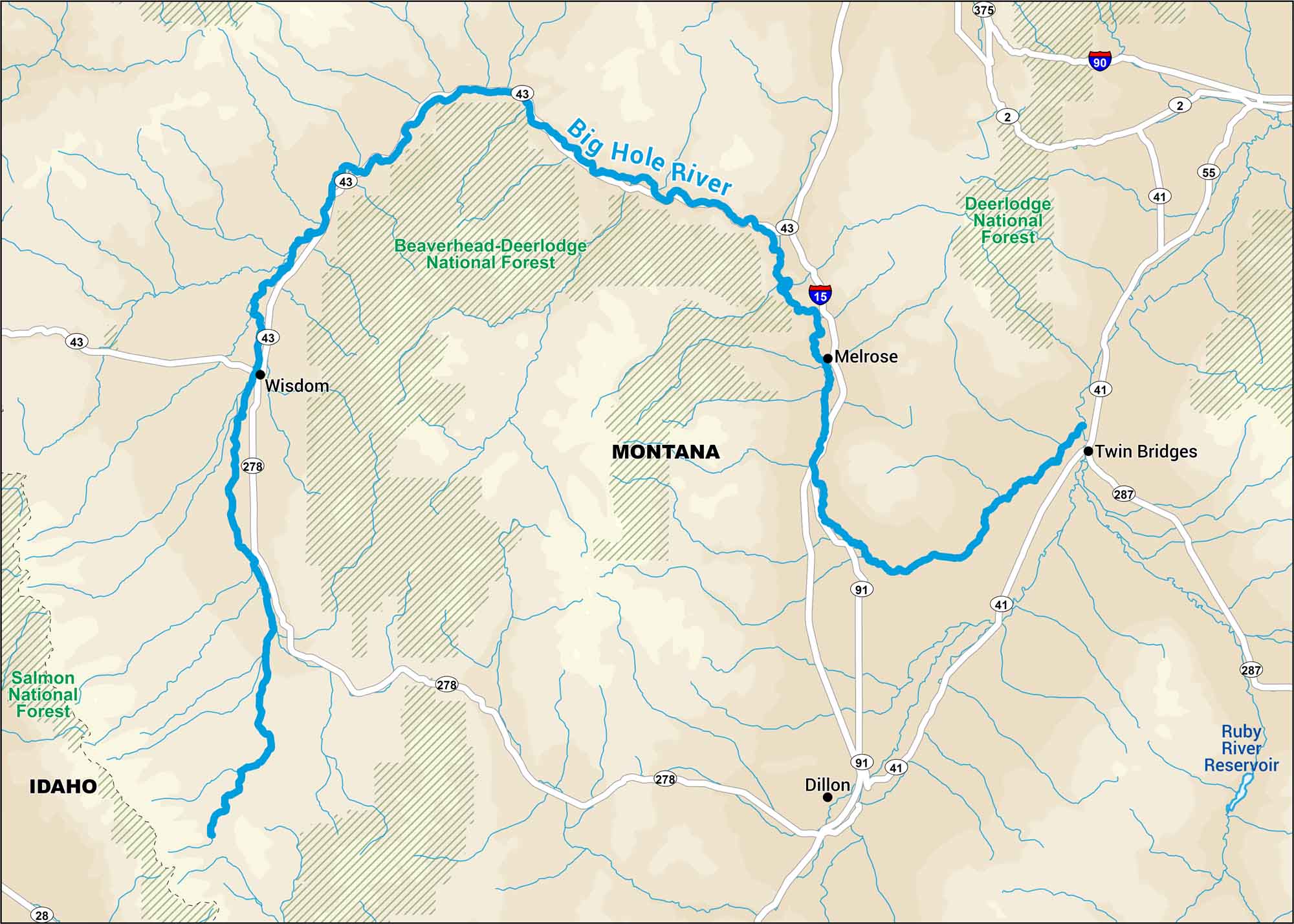
Big Hole River Map
Montana’s Big Hole has broad valleys, wide water, open sky. It’s located near Beaverhead-Deerlodge National Forest, perfect to set up a campsite.
Map Information
On the Map
Interstates/Highways: I-15, I-90 Major Roads: State Rte 43, State Rte 278, State Rte 41, State Rte 91, State Rte 2, State Rte 55, State Rte 28, State Rte 287, State Rte 375 Rivers/Reservoirs: Big Hole River, Ruby River Reservoir Parks/Forests: Beaverhead-Deerlodge National Forest, Salmon National Forest Cities/Towns: Wisdom, Melrose, Twin Bridges, Dillon
US Maps
Lakes and Rivers Map
Our map of America’s lakes and rivers shows the major waterways that define the country’s landscape.
Waterway Maps
Explore America’s waterways.


