Altamaha River Map
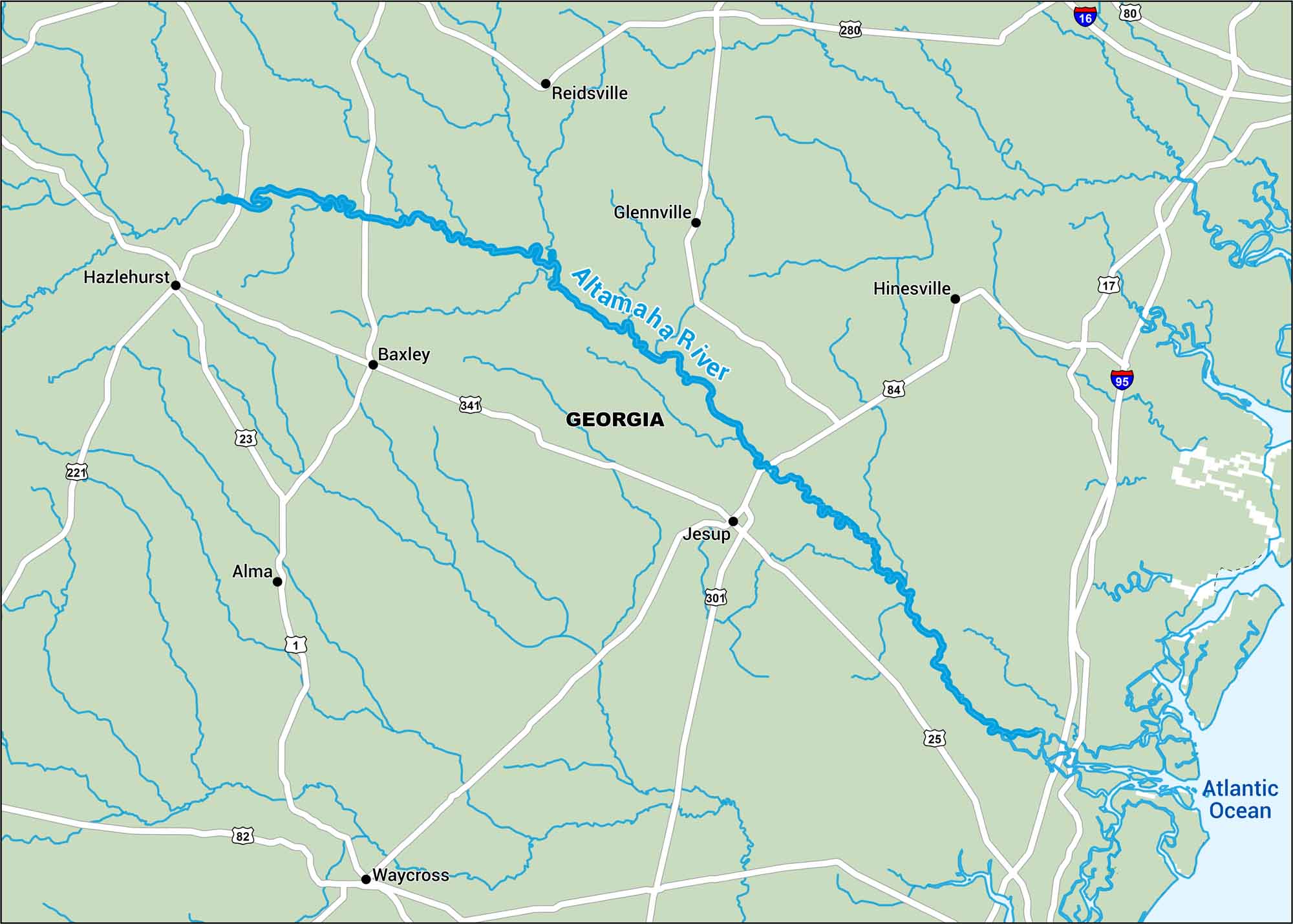
Georgia’s Altamaha runs dark and smooth through thick coastal forest. Use our map to get acquainted to its quiet oxbows and long drift toward the Atlantic.
Map Information
On the Map
Interstates/Highways: I-16, I-95 Major Roads: US Hwy 80, US Hwy 341, US Hwy 301, US Hwy 84, US Hwy 221, US Hwy 1, US Hwy 25, US Hwy 82, State Rte 280, State Rte 23, State Rte 17 Rivers/Oceans: Altamaha River, Atlantic Ocean Cities/Towns: Jesup, Hinesville, Waycross, Hazlehurst, Reidsville, Glennville, Baxley, Alma
US Maps
Lakes and Rivers Map
Our map of America’s lakes and rivers shows the major waterways that define the country’s landscape.
Waterway Maps
Explore America’s waterways.


