Brazos River Map
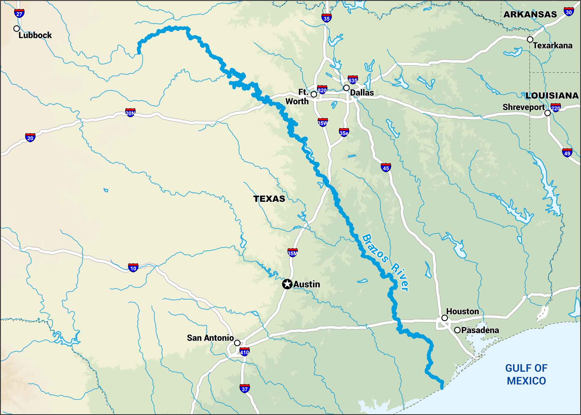
They call it the “Arms of Texas” because it stretches like one. It’s wide and wandering from the Hill Country down to the Gulf. Our map shows nearby lakes, rivers, and highways that run close to it.
Map Information
On the Map
Interstates/Highways: I-10, I-15, I-20, I-27, I-30, I-35, I-37, I-45, I-49, I-220, I-635, I-820, I-20N, I-35W, I-35E, I-410 Rivers: Brazos River Cities/Towns: Lubbock, Ft. Worth, Dallas, Austin, Houston, Pasadena, San Antonio, Texarkana, Shreveport
US Maps
Lakes and Rivers Map
Our map of America’s lakes and rivers shows the major waterways that define the country’s landscape.
Waterway Maps
Explore America’s waterways.


